Canterbury · New Zealand
Lindis Pass
SH 8Omarama to Cromwell
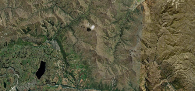
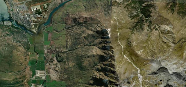
Sweeping bends through bare golden snow-tussock between Omarama and Central Otago, the schist ridges changing colour as the light moves. At about 971 metres, the summit is the highest point on the South Island’s state highway network.
State Highway 8 climbs over the Lindis Pass at about 971 metres between Omarama in the Mackenzie Basin and the Tarras area in Central Otago, the highest point on the South Island state highway network. The pass is famous for its sweeping bends through bare golden snow-tussock hills and schist ridges that change colour with the light. Mind the exposed summit winds, black ice in winter and fast-changing alpine weather.
Where it runs48.1 mi · point to point
Navigate to the start: Apple Maps · Google Maps
Character
Corners
busiest around mile 42Elevation
under 4%4–8%over 8%285.5 – 973.8 mFrom the road
Points of interest3 stops
- Lindis Pass Summit LookoutViewpoint20 mi in
- Cluden HillViewpoint43 mi in
- Omarama War MemorialLandmarkat the start
Hazards
- Black ice and snow in winter
- Strong exposed crosswinds at the summit
- Fast-changing alpine weather
Sources
“You can see right out over a valley framed by mountains, with the main road being the only sign of civilization.”
Verified route: mapped from real road geometry and fact-checked by a human editor. How roads get checked
Driving the Lindis Pass: quick answers
How long does it take to drive the Lindis Pass?
How difficult is the Lindis Pass to drive?
When is the best time to drive the Lindis Pass?
Nearby roads
The closest great drives to Lindis Pass.