Grand Tour
The South Island
Four days, coast to fiord, across the Southern Alps.
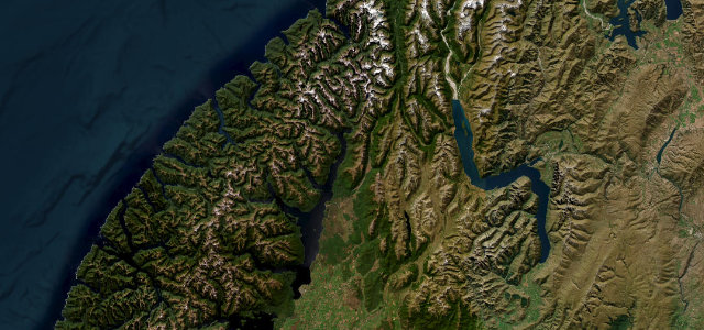
New Zealand’s South Island packs the scenery of a continent into a two-lane road network with nobody on it. This is the classic arc: over Arthur’s Pass to the wild West Coast, down past the glaciers and over Haast into the lakes, across the Crown Range, and finally the road every driver should do once, the Milford Road, into the fiord at the end of the world. Four days if you hurry, and you should not hurry.
Arthur's Pass to the Coast
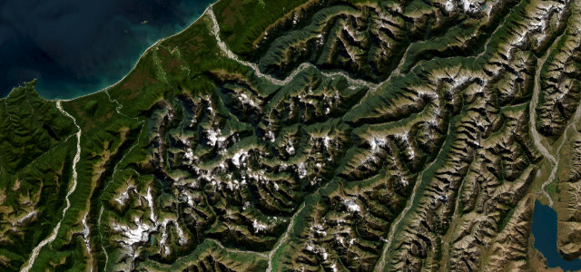
Overnight: HokitikaOut of Canterbury’s plains and over Arthur’s Pass, the highest crossing of the Southern Alps, keas patrolling the viaduct, then down the wild Otira side to the driftwood beaches of the West Coast.
Glacier country and the Haast
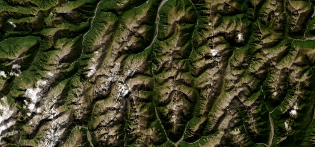
Overnight: WanakaSouth past Franz Josef and Fox, then the Haast Pass through World Heritage rainforest, waterfalls on both sides, emerging suddenly into the dry gold light of the Otago lakes.
The Crown Range
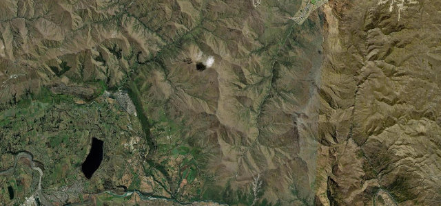
Overnight: Te AnauNew Zealand’s highest sealed road, the zigzag out of Queenstown’s basin with the Remarkables across the valley, then the long quiet run south to Te Anau, gateway to Fiordland.
The Milford Road
Overnight: Te AnauThe finale: 72 miles into Fiordland, beech forest, avalanche country, the Homer Tunnel plunging through a granite wall, and Mitre Peak rising from the black water of Milford Sound at the end.