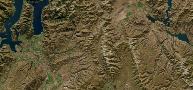
Canterbury · New Zealand
Arthur's Pass
SH 73Arthur’s Pass to Ōtira
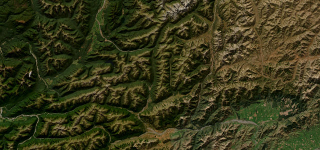
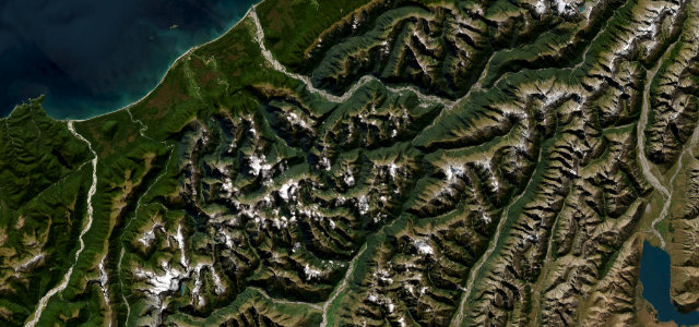
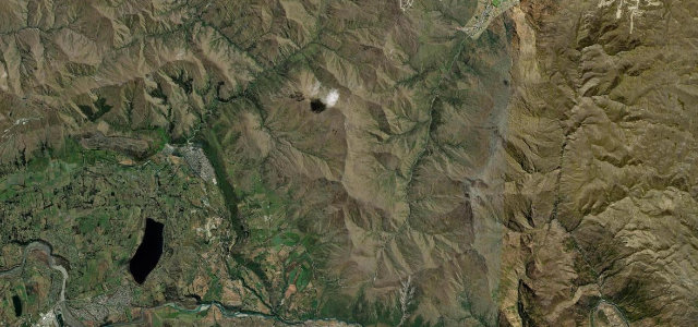
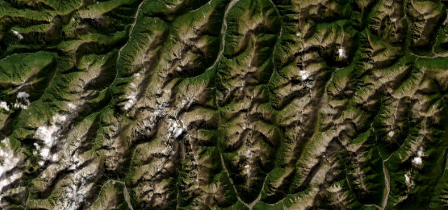
The highest of the three roads over the Southern Alps, cresting at about 920 m before the main event: a 16 percent drop down the Otira Gorge on a 440-metre viaduct built because the old road kept sliding away. Canterbury on one side, the West Coast on the other.
State Highway 73 crosses Arthur’s Pass at about 920 metres between Bealey on the Canterbury side and Otira on the West Coast, the highest of the three roads over the Southern Alps. The dramatic western descent runs down the Otira Gorge over the 440-metre Otira Viaduct, opened in 1999 to replace a notoriously slip-prone section, with gradients reaching around 16 percent. Mind the steep gorge grades, rockfall and snow or ice in winter.
Beech forest, braided rivers, then switchbacks under snow-streaked peaks. It has real rhythm, and a view worth stopping for at every crest.
Why we picked it
Scenery
Best seasons
In these collections
In these Grand Tours
Where it runs10.0 mi · point to point
Navigate to the start: Apple Maps · Google Maps
Character
Corners
busiest around mile 2Elevation
under 4%4–8%over 8%381.6 – 920.8 mFrom the road
Points of interest3 stops
- Bridal Veil Falls lookoutViewpoint2.5 mi in
- Ōtira Viaduct Lookout at Deaths CornerViewpoint5.4 mi in
- Arthur’s PassViewpoint4.0 mi in
Hazards
- Steep grades up to about 16 percent in the Otira Gorge
- Rockfall and slips on scree slopes
- Snow and ice in winter
Sources
“one of the most stunning experiences in New Zealand”
Verified route: mapped from real road geometry and fact-checked by a human editor. How roads get checked
Driving the Arthur's Pass: quick answers
How long does it take to drive the Arthur's Pass?
How difficult is the Arthur's Pass to drive?
When is the best time to drive the Arthur's Pass?
Nearby roads
The closest great drives to Arthur's Pass.