Canterbury / West Coast · New Zealand
Lewis Pass
SH 7Hanmer Springs junction to Springs Junction
The northernmost Southern Alps crossing, sweeping through unbroken beech forest on SH7.
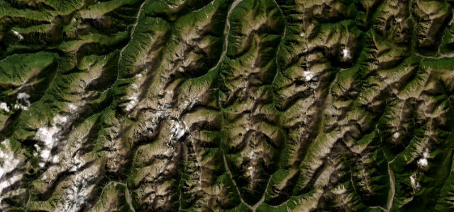
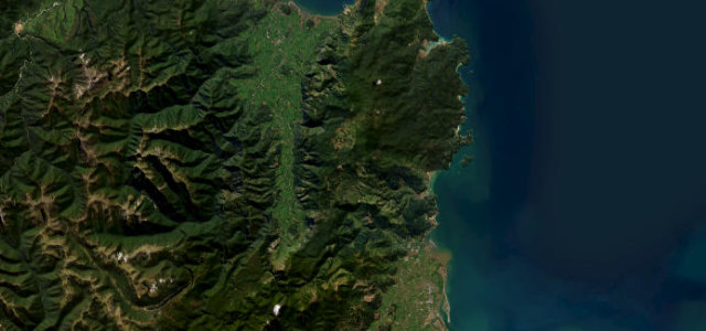
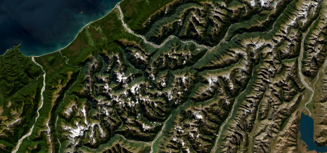
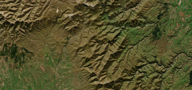
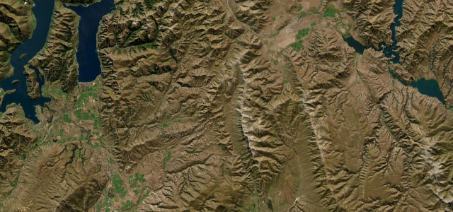
State Highway 7 climbs from the Hanmer Springs turnoff through river valleys and into the Lewis Pass National Scenic Reserve, the most northerly of the three main road passes over the Southern Alps. The road is sealed and flowing rather than savage, curving through extensive native beech forest with the option of a short walk to a tarn near the summit. It then descends to Springs Junction on the West Coast side. Mind winter ice and snow that can require chains, narrow sections with few passing places, and wandering wildlife at dawn and dusk.
Scenery
Best seasons
In these collections
Where it runs60.2 mi · point to point
Navigate to the start: Apple Maps · Google Maps
Character
Corners
busiest around mile 16Elevation
under 4%4–8%over 8%300 – 907.7 mFrom the road
Points of interest3 stops
- Lewis PassViewpoint39 mi in
- Rahu SaddleViewpoint57 mi in
- Boyle Base HutFood and drink28 mi in
Hazards
- Winter ice and snow
- Few passing places
- Wildlife at dusk
Sources
“In most places where you're not looking at rivers, the road seems to be cut straight out of the bush with a tree canopy over the road.”
Verified route: mapped from real road geometry and fact-checked by a human editor. How roads get checked
Driving the Lewis Pass: quick answers
How long does it take to drive the Lewis Pass?
How difficult is the Lewis Pass to drive?
When is the best time to drive the Lewis Pass?
Nearby roads
The closest great drives to Lewis Pass.