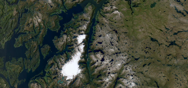
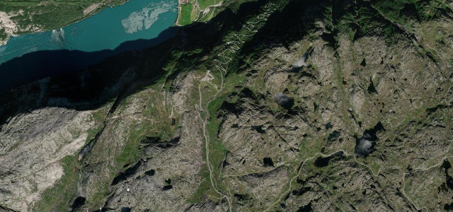
Vestland · Norway
Hardanger Sørfjord
Rv13Kinsarvik to Skare
Fjordside fruit-country road to Latefoss waterfall.
A National Tourist Route section on Rv13 down the east side of the Sorfjorden in Hardanger, western Norway, between Kinsarvik and the Latefoss waterfall south of Odda. The road runs through fruit-orchard country beneath steep mountainsides past several waterfalls, ending at the twin-cascade Latefoss with its arched stone bridge. Mind the heavy summer tourist traffic, narrow fjordside curves and rockfall zones.
Scenery
CoastMountainValley
Best seasons
SpringSummerAutumn
In these collections
In these guides
Where it runs34.3 mi · point to point
KinsarvikStart · Vestland
SkareEnd · Vestland
Navigate to the start: Apple Maps · Google Maps
Character
Corners60bends
Tightness5of 10
Max gradient8%≈ 1-in-13
Climb494 mtotal ascent
Summit191.2 mhighest point of the line · 627 ft
Corners
busiest around mile 25Elevation
under 4%4–8%over 8%2.8 – 191.2 mFrom the road
Points of interest2 stops
- Mot JordalenViewpoint27 mi in
- GrønnsdalsfossenViewpoint33 mi in
Hazards
- Heavy summer tourist traffic
- Narrow fjordside curves
- Rockfall zones
Sources
“The road winds between high mountains and the fjord, through a lush green and fertile landscape where waterfalls plunge down the mountainsides.”
Verified route: mapped from real road geometry and fact-checked by a human editor. How roads get checked
Driving the Hardanger Sørfjord: quick answers
How long does it take to drive the Hardanger Sørfjord?
Hardanger Sørfjord runs 34.3 miles (55 km) and takes about 1 h 9 min to drive without stops.
How difficult is the Hardanger Sørfjord to drive?
We rate it moderate: 60 corners, a maximum gradient of 8%, and a tightness of 5 out of 10.
When is the best time to drive the Hardanger Sørfjord?
Spring and Summer and Autumn are best.
Nearby roads
The closest great drives to Hardanger Sørfjord.
Hardanger Sørfjord
DirectionsGet the app