Västerbotten County · Sweden
Blå Vägen
E12Hemavan to Umeå (Holmsund)
Sweden’s 'Blue Road' follows the Ume River from mountain Lapland to the Bothnian coast through 460 km of lake-threaded wilderness.
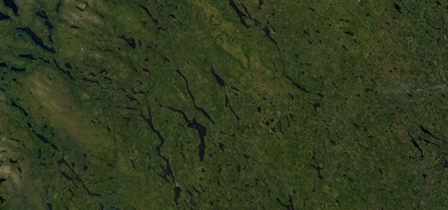
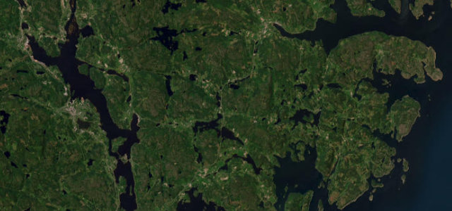
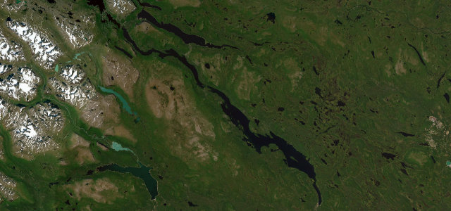
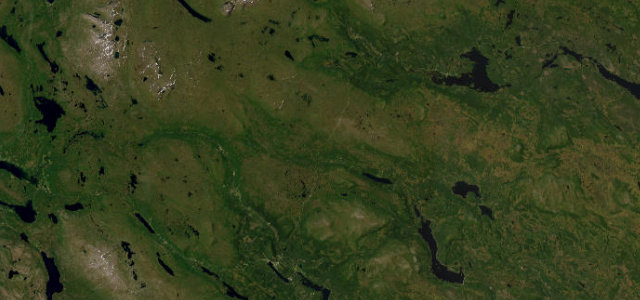
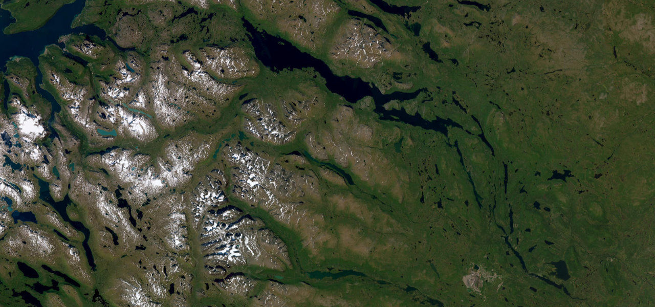
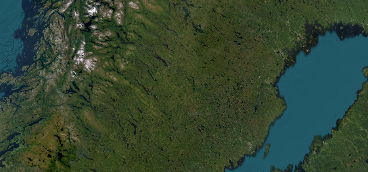
The Swedish section of E12 descends roughly 460 km from the mountain village of Hemavan, southern trailhead of the Kungsleden, eastward through Tärnaby, Storuman, and Lycksele to the coastal city of Umeå. The route earns its name from the Ume River, which it follows closely for much of the journey, passing a succession of lakes, forested valleys, and rapids. The landscape shifts from high sub-alpine terrain in the west to the broad taiga forest and river delta country of the Bothnian coast, making it one of the few drives in Sweden that spans an entire ecological gradient in a single day.
Scenery
Best seasons
In these collections
In these guides
Blå Vägen on the map244.8 mi · point to point
Navigate to the start: Apple Maps · Google Maps
Character
Corners
busiest around mile 3Elevation
under 4%4–8%over 8%1.6 – 551.7 mFrom the road
Points of interest1 stop
- ÅsiktenViewpoint105 mi in
Hazards
- Moose and reindeer on road, especially at dusk and dawn
- Heavy snowfall and icy surfaces from October to May
- Very limited services on western mountain section
- River-fog reducing visibility near Storuman in autumn
Sources
“Water is omnipresent throughout the journey, creating a distinctive character for this Swedish mountain corridor.”
Verified route: mapped from real road geometry and fact-checked by a human editor. How roads get checked
Driving the Blå Vägen: quick answers
How long does it take to drive the Blå Vägen?
How difficult is the Blå Vägen to drive?
When is the best time to drive the Blå Vägen?
Nearby roads
The closest great drives to Blå Vägen.