Norrbotten County · Sweden
Stora Sjöfallet Ritsem Road
827Porjus to Ritsem
Paved dead-end road to the Sarek wilderness gateway.
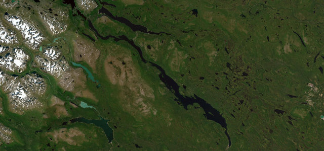
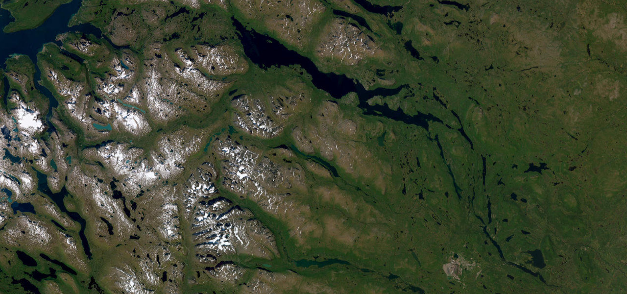
Road 827, the Vägen Västerut, branches off the E45 near Porjus and runs paved to Ritsem, ending at the Sarek and Stora Sjöfallet national parks in the Laponia World Heritage area. The road follows the dammed Lule river through old-growth forest with mountain peaks rising toward the Norwegian border. Mind the remote dead-end with no services, reindeer on the road, and reduced winter access.
Scenery
MountainForestLakesValley
Best seasons
SummerAutumn
In these collections
In these guides
Where it runs56.1 mi · point to point
PorjusStart · Norrbotten County
RitsemEnd · Norrbotten County
Navigate to the start: Apple Maps · Google Maps
Character
Corners40bends
Tightness3of 10
Max gradient7%≈ 1-in-14
Climb449 mtotal ascent
Summit451.8 mhighest point of the line · 1,482 ft
Corners
busiest around mile 48Elevation
under 4%4–8%over 8%370.9 – 451.8 mFrom the road
Points of interest1 stop
- Unna HapsasViewpointat the start
Hazards
- Remote dead-end with no services
- Reindeer on the road
- Reduced winter access
Sources
“The Ritsemvägen in Swedish Lapland is beautiful and truly one of the most beautiful routes in Sweden!”
Verified route: mapped from real road geometry and fact-checked by a human editor. How roads get checked
Driving the Stora Sjöfallet Ritsem Road: quick answers
How long does it take to drive the Stora Sjöfallet Ritsem Road?
Stora Sjöfallet Ritsem Road runs 56.1 miles (90 km) and takes about 1 h 43 min to drive without stops.
How difficult is the Stora Sjöfallet Ritsem Road to drive?
We rate it easy: 40 corners, a maximum gradient of 7%, and a tightness of 3 out of 10.
When is the best time to drive the Stora Sjöfallet Ritsem Road?
Summer and Autumn are best.
Nearby roads
The closest great drives to Stora Sjöfallet Ritsem Road.
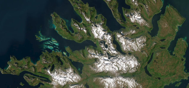
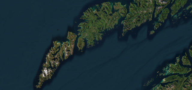
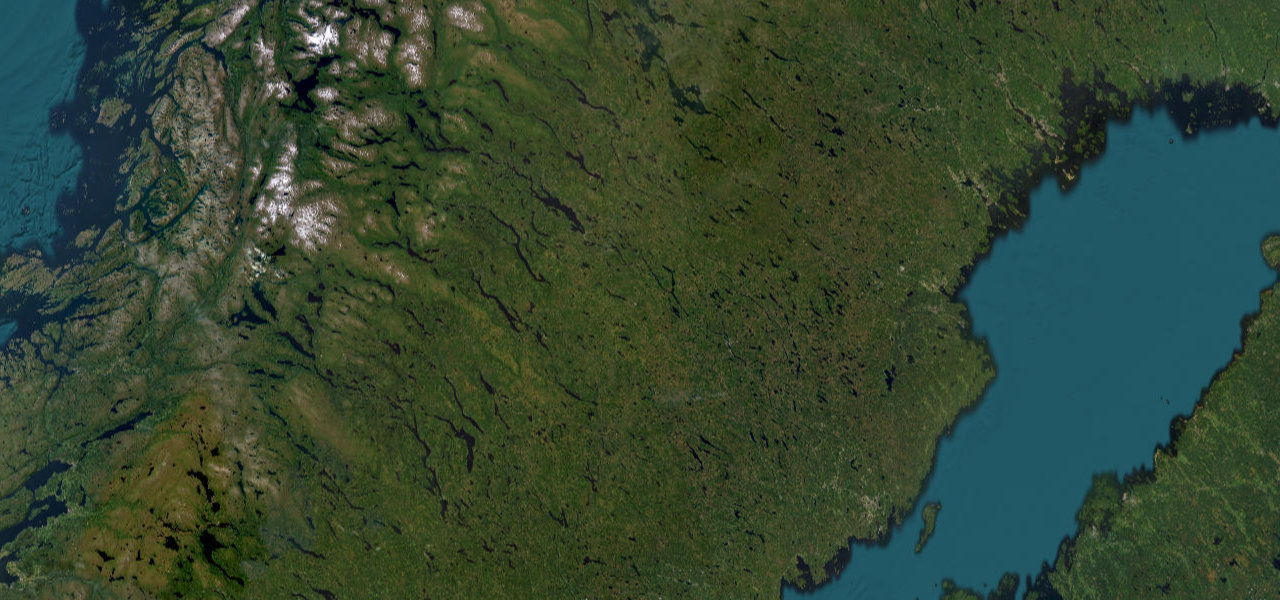
Stora Sjöfallet Ritsem Road
DirectionsGet the app