Lapland · Finland
Käsivarrentie
21E8Palojoensuu to Kilpisjärvi
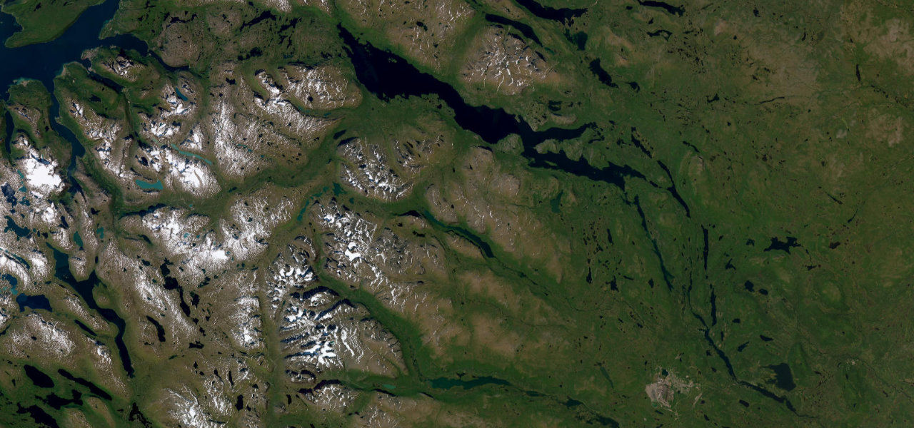
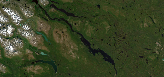
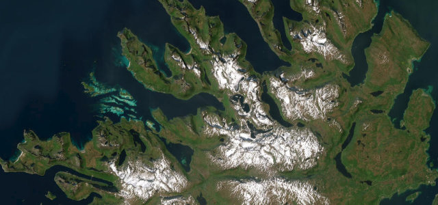
The northernmost arm of Finland’s Road 21 traces the border river into the Käsivarsi Wilderness, climbing past the treeline to the highest paved road in the country before the lake village of Kilpisjärvi.
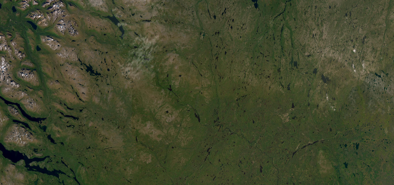
From Palojoensuu the road follows the Muonionjoki northwest, the forest thinning from spruce to fell birch to open Arctic tundra. It crests the Muotkatakka saddle at 565.8 m, the highest point on any Finnish public road, before a descent reveals Lake Kilpisjärvi and the angular Saana fell. The last 12 km are above the treeline; reindeer wander the tarmac year-round.
Scenery
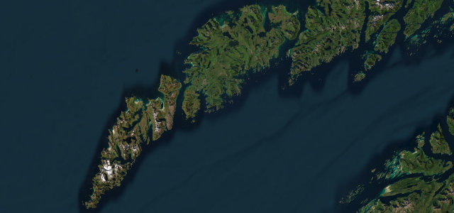
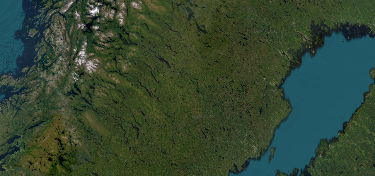
Where it runs
Navigate to the start: Apple Maps · Google Maps
Character
Elevation
under 4%4–8%over 8%277 – 557 mHazards
- reindeer on road
- snow and ice outside summer
- remote with limited services
- closures in severe winter weather
See the typical season and live conditions for the high passes ›
Sources: Road geometry © OpenStreetMap contributors
Nearby roads
The closest great drives to Käsivarrentie.