Troms · Norway
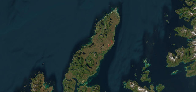
Senja
Fv862Fv86Botnhamn to Gryllefjord
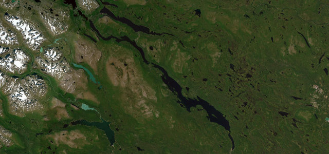
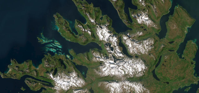
Senja’s outer edge, a narrow road threading between fjords and rock-cut tunnels out to the Tungeneset boardwalk and its head-on view of the jagged Okshornan peaks. Proper Arctic coast driving, exposed, winding and completely worth it.
A National Tourist Route hugging the outer coast of Senja island in Arctic Norway, running between Botnhamn and Gryllefjord on Fv862 and Fv86. The narrow winding road threads fjords and rock-cut tunnels past the Bergsbotn viewing platform and the Tungeneset boardwalk facing the jagged Okshornan peaks. Mind the narrow tunnels, winter ice and exposed coastal weather.
Scenery
Best seasons
In these collections
In these guides
Where it runs48.0 mi · point to point
Navigate to the start: Apple Maps · Google Maps
Character
Corners
busiest around mile 30Elevation
under 4%4–8%over 8%0 – 285.8 mFrom the road
Points of interest3 stops
- TungenesetViewpoint21 mi in
- viewpoint BergsbotnViewpoint30 mi in
- UtsiktenViewpoint42 mi in
Hazards
- Narrow single-lane tunnels
- Winter ice and snow
- Exposed coastal weather
Sources
“You will stop every minute to admire the steep mountains that plunge deep into the ocean.”
Verified route: mapped from real road geometry and fact-checked by a human editor. How roads get checked
Driving the Senja: quick answers
How long does it take to drive the Senja?
How difficult is the Senja to drive?
When is the best time to drive the Senja?
Nearby roads
The closest great drives to Senja.