Nordland · Norway
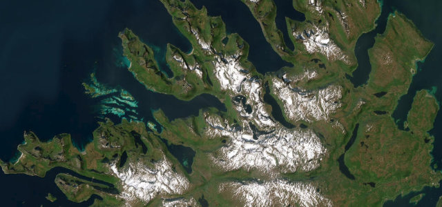
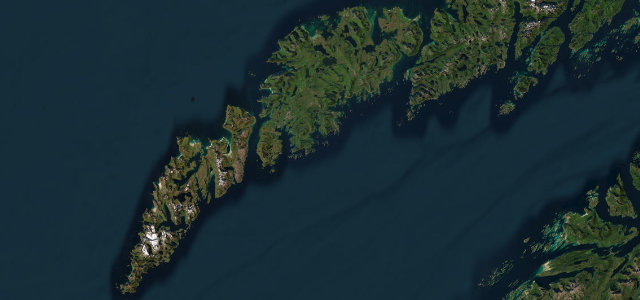
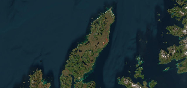
Andøya
Fv7702Fv7698Fv82Andenes to Risøyhamn
Level tarmac along Andøya’s western edge in Arctic Norway, past steep headlands and the white sand at Bleikstranda, with whale country off the Bleik Canyon. The sheep roam free here, and they know it.
A National Tourist Route along the western edge of Andoya island in Vesteralen, Arctic Norway, running between Andenes and Risøyhamn mainly on Fv82. The mostly level coastal road passes the white-sand Bleikstranda beach, steep headlands and the Bukkekjerka rest stop, in an area known for whale watching off the Bleik Canyon. Mind the exposed coastal weather, free-roaming sheep and winter ice.
Scenery
Best seasons
In these collections
In these guides
Where it runs29.1 mi · point to point
Navigate to the start: Apple Maps · Google Maps
Character
Corners
busiest around mile 2Elevation
under 4%4–8%over 8%1 – 46.3 mFrom the road
Points of interest3 stops
- Augustinus Sellevold minnesmerkeLandmark16 mi in
- RambergsakslaViewpoint3.0 mi in
- AndhauvetViewpoint2.2 mi in
Hazards
- Exposed coastal weather
- Free-roaming sheep
- Winter ice
Sources
“The route winds its way through staggering scenery.”
Verified route: mapped from real road geometry and fact-checked by a human editor. How roads get checked
Driving the Andøya: quick answers
How long does it take to drive the Andøya?
How difficult is the Andøya to drive?
When is the best time to drive the Andøya?
Nearby roads
The closest great drives to Andøya.