Norrbotten County · Sweden
Nordkalottvägen
E10Kiruna to Riksgränsen
A deep-Arctic corridor past Torneträsk and Lapporten — Sweden’s most dramatic high-latitude road.
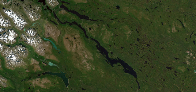
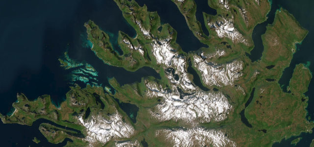
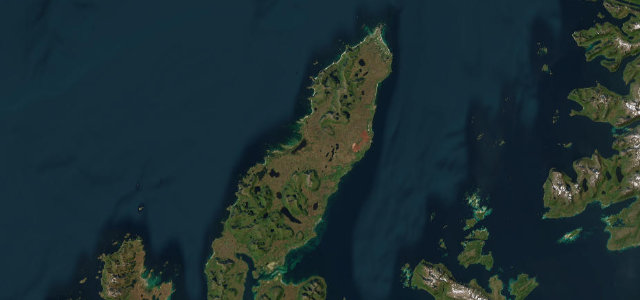
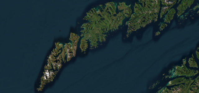
The E10 runs roughly 130 km northwest from Kiruna to the Norwegian border at Riksgränsen, tracing the southern shore of Torneträsk, one of Sweden’s largest lakes, with mountain massifs reflected in the water for much of the journey. The road passes through Abisko National Park and frames the iconic U-shaped valley of Lapporten, a landmark used for centuries by the Sámi people to guide reindeer between seasonal grazing grounds. The route continues into Norwegian territory toward Narvik but the Swedish stretch alone delivers a sustained experience of sub-Arctic wilderness found nowhere else in the country.
Scenery
Where it runs
Navigate to the start: Apple Maps · Google Maps
Character
Elevation
under 4%4–8%over 8%341 – 571 mHazards
- ice and black ice on approaches to Riksgränsen in all seasons
- reindeer on road
- extreme winter darkness and blizzard conditions
- road can be snow-blocked outside summer months
Sources: Road geometry © OpenStreetMap contributors
Nearby roads
The closest great drives to Nordkalottvägen.