Varanger · Norway
Hamningberg Road
Fv341Vardo to Hamningberg
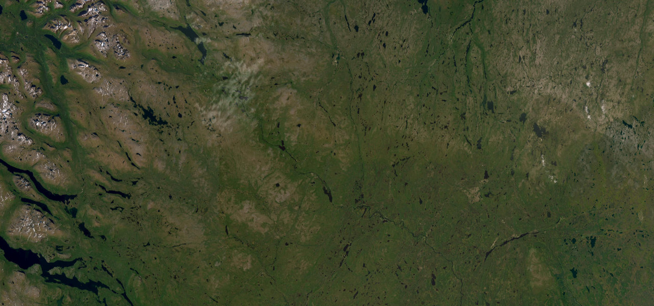
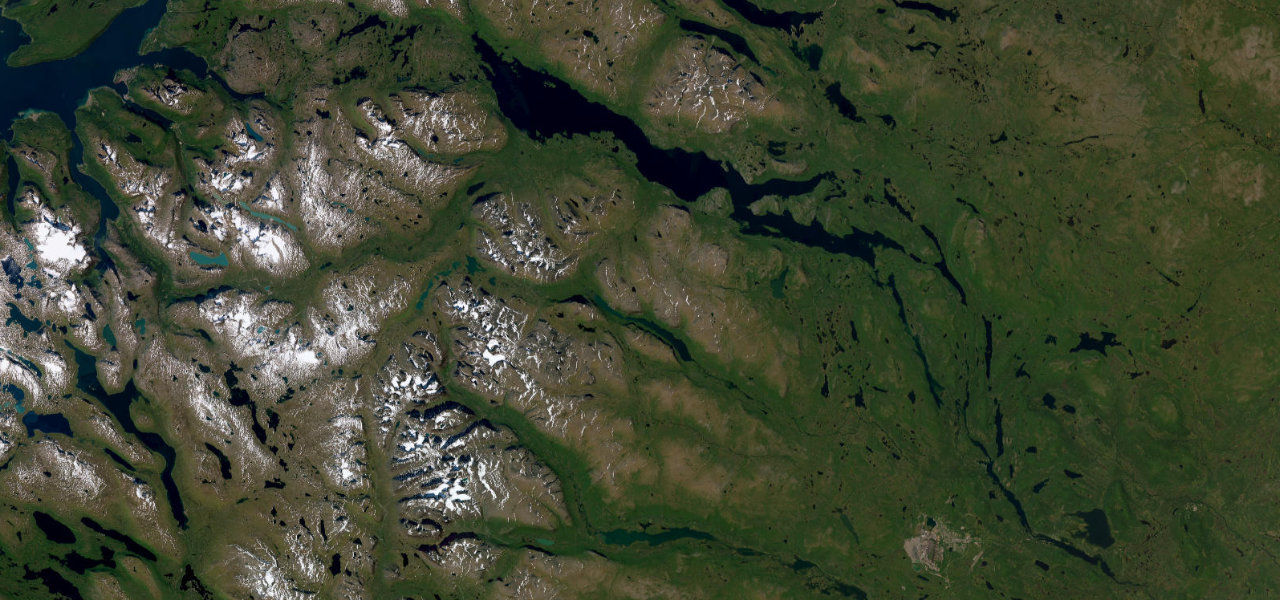
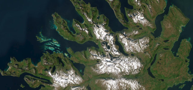
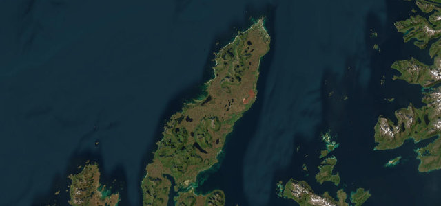
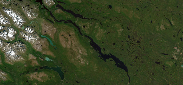
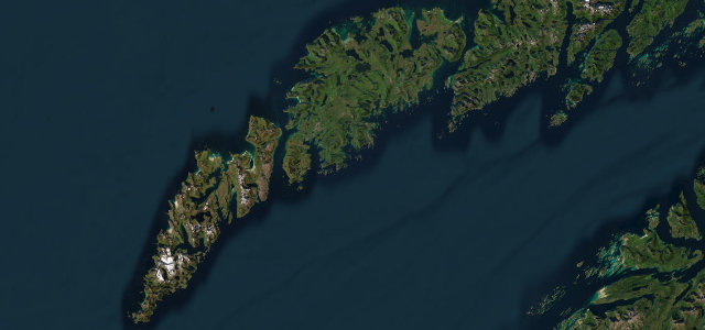
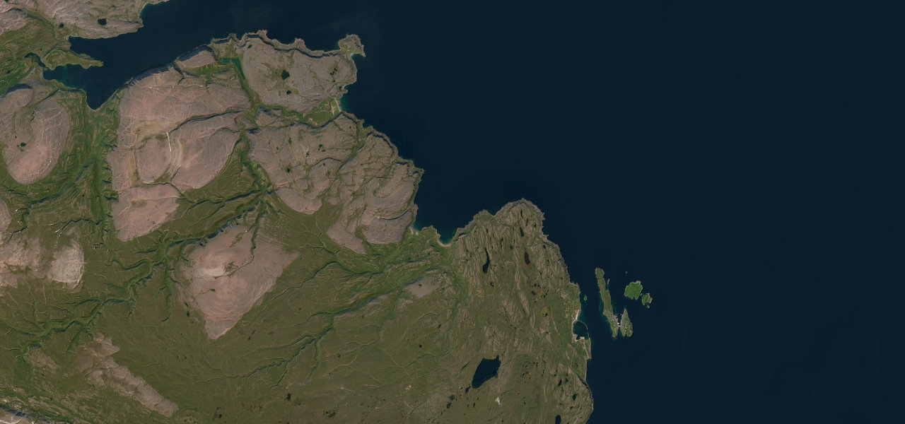
A dead-end Arctic road across the Varanger Peninsula to an abandoned fishing village on the Barents Sea, running through tundra, sea cliffs and weathered lava in some of the most elemental landscape in mainland Europe.
Branching off the Varanger National Tourist Route near Vardo, the Hamningberg road heads out to the very edge of the continent. There are no trees: only tundra, wind-carved rock, sweeping beaches and the grey Barents Sea, the terrain so stark it has been likened to the surface of the moon. The road narrows as it threads coastal cliffs and lava fields to the silent, preserved fishing village of Hamningberg, one of the few spared the wartime scorched-earth burning. It is a drive to the end of the road in the fullest sense.
Featured in these guides
Where it runs
Navigate to the start: Apple Maps · Google Maps
Character
Elevation
under 4%4–8%over 8%1 – 96 mPoints of interest
- NæringsforsenLandmark
Hazards
- Closed in winter and exposed to severe Arctic weather
- Narrow, single-track sections with passing places
- Reindeer on the carriageway
- No fuel or services beyond Vardo
See the typical season and live conditions for the high passes ›
Sources: Road geometry © OpenStreetMap contributors
Nearby roads
The closest great drives to Hamningberg Road.