Kalsoy · Faroe Islands
Kalsoy Island Road
76Syðradalur to Trøllanes
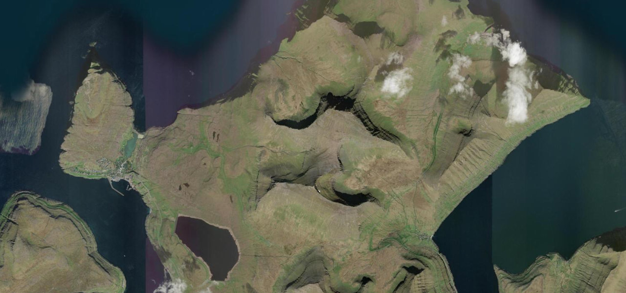
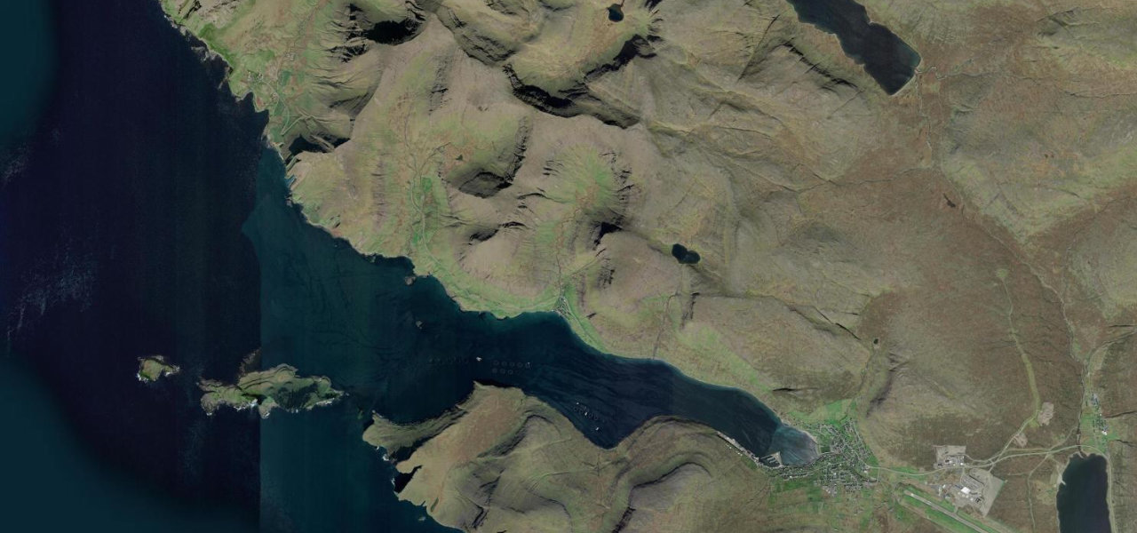
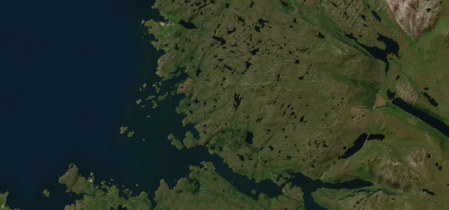
The only road on the slender island of Kalsoy threads four narrow unlit tunnels and hugs the fjord coast between them, linking the ferry landing at Syðradalur to the near-deserted village of Trøllanes.
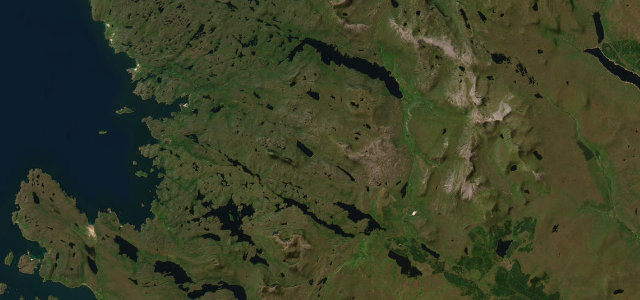
Reached by ferry from Klaksvík, the road north threads three tunnels punctuating stretches of open coast, each portal surfacing to a new headland view, before the 2.25 km Trøllanestunnilin releases the road into the green bowl of Trøllanes. A footpath continues to the Kallur lighthouse, one of the most photographed in the North Atlantic; the road featured in a Bond film.
Where it runs
Navigate to the start: Apple Maps · Google Maps
Character
Elevation
under 4%4–8%over 8%0 – 175 mHazards
- four single-lane unlit tunnels with passing bays only
- no barrier at cliff edges
- frequent fog and rain
- tunnel passing protocol required
Sources: Road geometry © OpenStreetMap contributors
Nearby roads
The closest great drives to Kalsoy Island Road.