Scotland · United Kingdom
Assynt & Lochinver
A837Ledmore to Lochinver
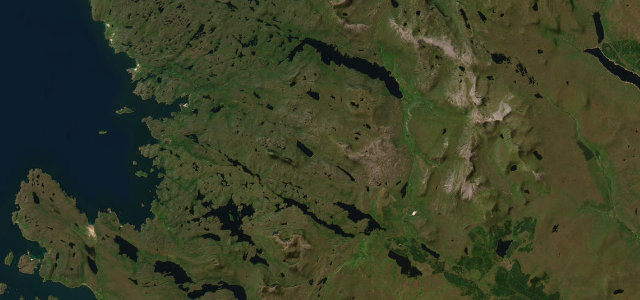
A lonely road beneath Suilven to the fishing village of Lochinver.
The A837 crosses the empty Assynt landscape from Ledmore to Lochinver, beneath the unmistakable dome of Suilven rising from the moor. It is a quiet, winding Highland road; carry fuel, mind the single-track sections and watch for stags on the road at dawn and dusk.
Scenery
MountainLakesCoast
Best seasons
SpringSummerAutumn
In these collections
In these Grand Tours
In these guides
Where it runs21.3 mi · point to point
LedmoreStart · Scotland
LochinverEnd · Scotland
Navigate to the start: Apple Maps · Google Maps
Character
Corners34bends
Tightness6of 10
Max gradient8%≈ 1-in-13
Descent367 mtotal descent
Summit166.1 mhighest point of the line · 545 ft
Corners
busiest around mile 21Elevation
under 4%4–8%over 8%4.3 – 166.1 mPoints of interest2 stops
- Lochinver and Assynt War MemorialLandmark21 mi in
- Calda HouseLandmark9.7 mi in
Hazards
- Single-track sections
- Remote, no fuel or signal
- Stags at dawn and dusk
Sources
“not for nothing is it known at times as the 'wee mad road' for all its turns and twists”
Verified route: mapped from real road geometry and fact-checked by a human editor. How roads get checked
Driving the Assynt & Lochinver: quick answers
How long does it take to drive the Assynt & Lochinver?
Assynt & Lochinver runs 21.3 miles (34 km) and takes about 45 min to drive without stops.
How difficult is the Assynt & Lochinver to drive?
We rate it demanding: 34 corners, a maximum gradient of 8%, and a tightness of 6 out of 10.
When is the best time to drive the Assynt & Lochinver?
Spring and Summer and Autumn are best.
Nearby roads
The closest great drives to Assynt & Lochinver.
Assynt & Lochinver
DirectionsGet the app