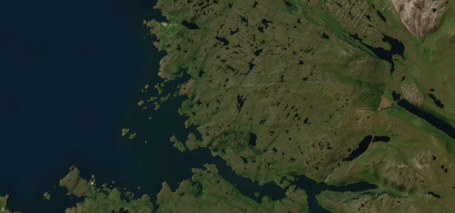
Scotland · United Kingdom
Kylesku
A894Scourie to Kylesku
A dramatic NC500 stretch over the soaring Kylesku Bridge.
The A894 runs through the wild Assynt country to the elegant curved span of the Kylesku Bridge, one of the high points of the North Coast 500. It is single-track in places with blind summits above the sea lochs; use the passing places and let faster locals through.
Scenery
CoastMountain
Best seasons
SpringSummerAutumn
In these collections
In these Grand Tours
In these guides
Where it runs9.4 mi · point to point
ScourieStart · Scotland
KyleskuEnd · Scotland
Navigate to the start: Apple Maps · Google Maps
Character
Corners30bends
Tightness6of 10
Max gradient9%≈ 1-in-11
Climb305 mtotal ascent
Summit107.3 mhighest point of the line · 352 ft
Corners
busiest around mile 1Elevation
under 4%4–8%over 8%3.2 – 107.3 mPoints of interest3 stops
- Mackay Country steleLandmark9.3 mi in
- Druim na h-ImrichViewpoint7.7 mi in
- Knock CalvaViewpoint5.1 mi in
Hazards
- Single-track with passing places
- Blind summits
- Sheep and deer
Sources
“sections of the road are regularly flanked by tall shrub banks on one side and breath-taking views on the other. Take a break at the Rock Stop Café before checking out the famous Kylesku Bridge”
Verified route: mapped from real road geometry and fact-checked by a human editor. How roads get checked
Driving the Kylesku: quick answers
How long does it take to drive the Kylesku?
Kylesku runs 9.4 miles (15.1 km) and takes about 20 min to drive without stops.
How difficult is the Kylesku to drive?
We rate it demanding: 30 corners, a maximum gradient of 9%, and a tightness of 6 out of 10.
When is the best time to drive the Kylesku?
Spring and Summer and Autumn are best.
Nearby roads
The closest great drives to Kylesku.
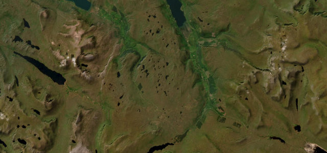
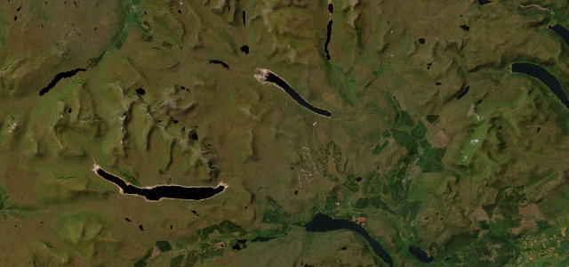
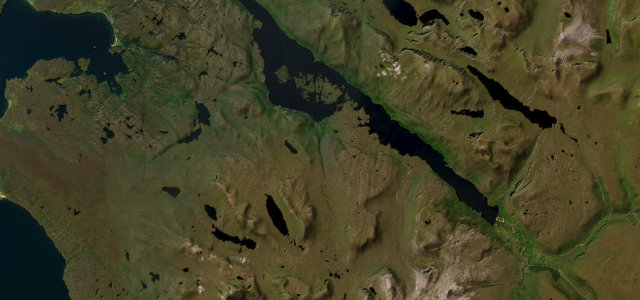
Kylesku
DirectionsGet the app