Sutherland · United Kingdom
Loch Eriboll & Durness
A838Durness to Tongue
The far north-west NC500 stretch where the A838 detours deep around the fjord-like Loch Eriboll, between the limestone country of Durness and the sands of Tongue.
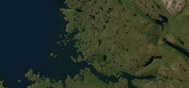
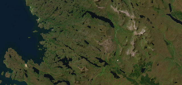
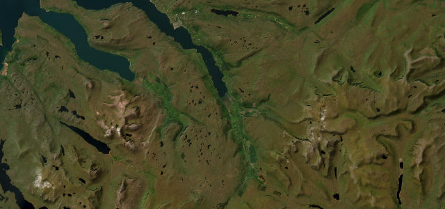
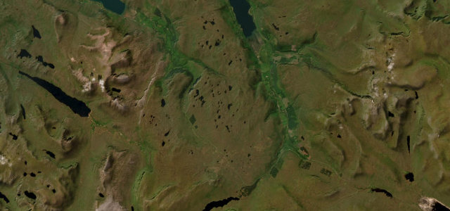
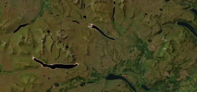
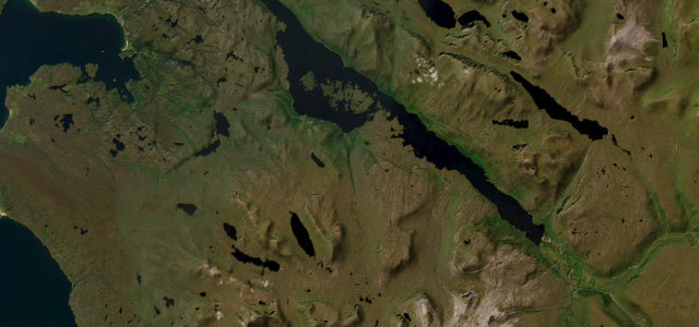
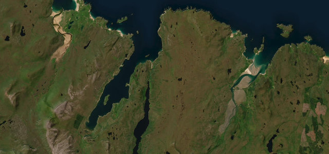
East of Durness the A838 abandons any pretence of a direct line and loops some ten miles south to wrap around Loch Eriboll, a deep sea loch so fjord-like that the wartime Navy sheltered the fleet here. The single-track road clings to the shore past Ard Neackie’s lime kilns and the hanging slopes of Beinn Spionnaidh, then climbs over open moor before dropping toward the Kyle of Tongue. It is mostly single track with passing places, lightly engineered and often empty, the surface patchy in places. The scenery is among the most remote and dramatic in Britain, all bare rock, peat and big northern light. Mind oncoming traffic on blind single-track passing-place sections, unfenced sheep and deer throughout, and exposed crosswinds with no shelter on the high moor.
Scenery
Best seasons
In these collections
In these Grand Tours
Where it runs29.6 mi · point to point
Navigate to the start: Apple Maps · Google Maps
Character
Corners
busiest around mile 20Elevation
under 4%4–8%over 8%0.6 – 225.4 mPoints of interest3 stops
- Durness Millennium CairnLandmark1.4 mi in
- Durness War MemorialLandmarkat the start
- Camus an Duin, BrochLandmark17 mi in
Hazards
- Single-track blind bends with oncoming traffic
- Sheep and deer on unfenced road
- Exposed crosswinds on open moor
Sources
“Particularly the section that follows around Loch Eriboll from Hope to Rispond, it's incredible.”
Verified route: mapped from real road geometry and fact-checked by a human editor. How roads get checked
Driving the Loch Eriboll & Durness: quick answers
How long does it take to drive the Loch Eriboll & Durness?
How difficult is the Loch Eriboll & Durness to drive?
When is the best time to drive the Loch Eriboll & Durness?
Nearby roads
The closest great drives to Loch Eriboll & Durness.