Highland · United Kingdom
Dirrie More
A835Garve to Braemore Junction
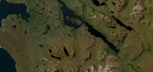
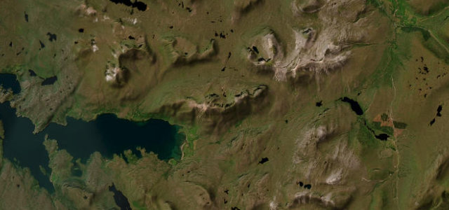
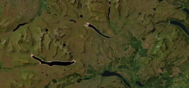
High open A835 pass from Garve over the Dirrie More to Braemore Junction, the NC500 gateway to Ullapool.
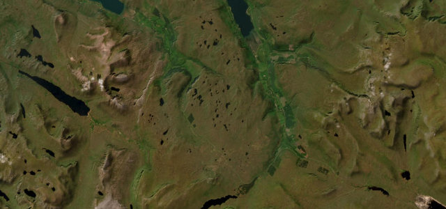
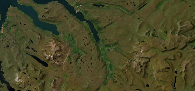
The A835 from Garve to Braemore Junction crosses the Dirrie More, a high broad watershed reaching around 280 m between Beinn Dearg and the Fannich hills. It is a fast, sweeping two-lane road with long sightlines, much-praised as a fine stretch when the weather behaves, and it forms the main inland approach to Ullapool and the North Coast 500. The driving is flowing rather than tight, with the reward being the scale of the surrounding mountains. Mind fast closing speeds with overtaking traffic, exposed weather and spindrift on the summit, and deer near the road at dawn and dusk.
Scenery
Best seasons
In these collections
Where it runs19.9 mi · point to point
Navigate to the start: Apple Maps · Google Maps
Character
Corners
busiest around mile 1Elevation
under 4%4–8%over 8%74.4 – 280.3 mPoints of interest3 stops
- Loch Glascarnoch view pointViewpoint11 mi in
- Garve War MemorialLandmarkat the start
- Black Water FallsLandmark2.2 mi in
Hazards
- Fast overtaking traffic
- Exposed summit weather
- Deer near the road
Sources
“Once you pass Garve the road opens up and sightlines increase dramatically.”
Verified route: mapped from real road geometry and fact-checked by a human editor. How roads get checked
Driving the Dirrie More: quick answers
How long does it take to drive the Dirrie More?
How difficult is the Dirrie More to drive?
When is the best time to drive the Dirrie More?
Nearby roads
The closest great drives to Dirrie More.