Scotland · United Kingdom
Glen Torridon
A896Kinlochewe to Shieldaig
A single-track drama beneath the great sandstone peaks of Torridon.
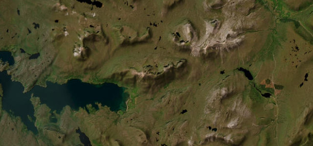
The A896 through Glen Torridon runs beneath Liathach and Beinn Eighe, some of the most dramatic mountains in Britain. It is single-track in places with passing places; give way generously and stop only in the marked bays to take in the scale of it.
We go quiet along here, every time, and we’re not a quiet bunch. Some places command reverence without asking.
Why we picked it
Scenery
Mountain
Best seasons
SpringSummerAutumn
In these collections
In these Grand Tours
In these guides
Where it runs16.9 mi · point to point
KinlocheweStart · Scotland
ShieldaigEnd · Scotland
Navigate to the start: Apple Maps · Google Maps
Character
Corners22bends
Tightness7of 10
Max gradient9%≈ 1-in-11
Climb270 mtotal ascent
Summit117 mhighest point of the line · 384 ft
Corners
busiest around mile 3Elevation
under 4%4–8%over 8%3.5 – 117 mPoints of interest2 stops
- Kinlochewe War MemorialLandmarkat the start
- Torridon War MemorialLandmark9.7 mi in
Hazards
- Single-track with passing places
- Deer and sheep
- Exposed weather
Sources
“The main route continues along the now single track A896 through Glen Torridon, close to the side of two of Scotland's most magnificent mountains on your left: first Liathach, then Beinn Eighe. For many this is the most magnificent of Scotland's glens.”
Verified route: mapped from real road geometry and fact-checked by a human editor. How roads get checked
Driving the Glen Torridon: quick answers
How long does it take to drive the Glen Torridon?
Glen Torridon runs 16.9 miles (27 km) and takes about 37 min to drive without stops.
How difficult is the Glen Torridon to drive?
We rate it demanding: 22 corners, a maximum gradient of 9%, and a tightness of 7 out of 10.
When is the best time to drive the Glen Torridon?
Spring and Summer and Autumn are best.
Nearby roads
The closest great drives to Glen Torridon.
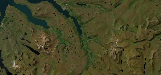
Glen Torridon
DirectionsGet the app