Scotland · United Kingdom
Bealach na Bà
Tornapress to Applecross
Britain’s most dramatic mountain pass, Alpine hairpins climbing from sea loch to a 626-metre summit.
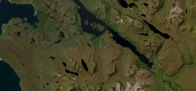
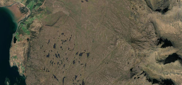
The Bealach na Bà, the Pass of the Cattle, climbs from Loch Kishorn through a series of tight, exposed hairpins to one of the highest road summits in Britain, then drops to the seaside village of Applecross. It is single-track for almost its entire length, with passing places, severe gradients and weather that turns quickly; the reward is a vast panorama across the sea to Skye. Take it slowly, give way with good grace, and stop only in the marked passing places.
There’s nowhere in Britain quite like it, a single-track ramp to 626 m with hairpins that wouldn’t look out of place in the Alps. It’s first on every list we make.
Why we picked it
Scenery
Best seasons
In these collections
In these Grand Tours
In these guides
Where it runs6.8 mi · point to point
Navigate to the start: Apple Maps · Google Maps
Character
Steeper than 9 in 10 roads here in the catalogue.
Corners
busiest around mile 1Elevation
under 4%4–8%over 8%8.7 – 626 mPoints of interest2 stops
- Bealach na Bà summitPanorama to Skye and the Cuillin on a clear day.2.1 mi in
- Applecross InnWaterfront stop at the end of the pass.6.8 mi in
Hazards
- Single-track with passing places
- Severe hairpin bends
- Steep 1-in-5 gradients
- Exposed to weather; can close in snow
See the typical season and live conditions for the high passes ›
Sources
“Some call it Britain's Stelvio Pass”
Verified route: mapped from real road geometry and fact-checked by a human editor. How roads get checked
Driving the Bealach na Bà: quick answers
How long does it take to drive the Bealach na Bà?
How difficult is the Bealach na Bà to drive?
When is the best time to drive the Bealach na Bà?
Nearby roads
The closest great drives to Bealach na Bà.