Scotland · United Kingdom
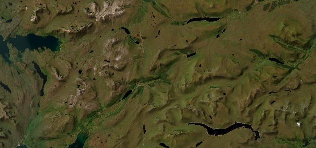
Glen Carron
A890Achnasheen to Strathcarron
A quiet glen-and-loch road through the heart of Wester Ross.
The A890 runs through Glen Carron from Achnasheen down to Strathcarron, following the railway and the river between high hills. It is a remote, single-track-in-places road with long empty stretches; carry fuel, use the passing places and watch for deer and the occasional train at the level crossings.
Scenery
MountainLakes
Best seasons
SpringSummerAutumn
In these collections
In these Grand Tours
Where it runs19.1 mi · point to point
AchnasheenStart · Scotland
StrathcarronEnd · Scotland
Navigate to the start: Apple Maps · Google Maps
Character
Corners28bends
Tightness5of 10
Max gradient8%≈ 1-in-13
Descent268 mtotal descent
Summit202.2 mhighest point of the line · 663 ft
Corners
busiest around mile 19Elevation
under 4%4–8%over 8%4.4 – 202.2 mPoints of interest2 stops
- Loch SgamhainSmall freshwater loch at the head of Glen Carron, right beside the A890 with the Munros Moruisg and Sgurr nan Ceannaichean rising behind it5.2 mi in
- Achnashellach StationTiny request-stop station on the Kyle of Lochalsh railway and the gateway to the Achnashellach Forest and Coulin pass walks12 mi in
Hazards
- Single-track sections
- Remote, no fuel or signal
- Level crossings and deer
Sources
“The drive on Road A890 in Glen Carron will take you near beautiful small lochs and valley sceneries.”
Verified route: mapped from real road geometry and fact-checked by a human editor. How roads get checked
Driving the Glen Carron: quick answers
How long does it take to drive the Glen Carron?
Glen Carron runs 19.1 miles (31 km) and takes about 38 min to drive without stops.
How difficult is the Glen Carron to drive?
We rate it moderate: 28 corners, a maximum gradient of 8%, and a tightness of 5 out of 10.
When is the best time to drive the Glen Carron?
Spring and Summer and Autumn are best.
Nearby roads
The closest great drives to Glen Carron.
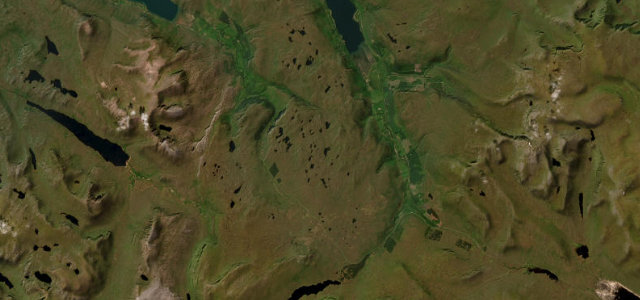
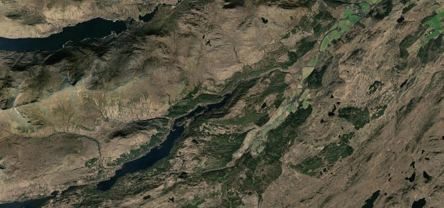
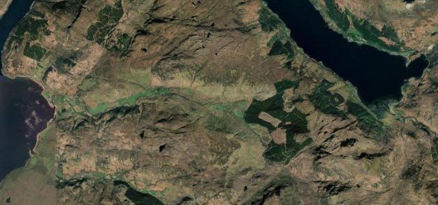
Glen Carron
DirectionsGet the app