Highland · United Kingdom
Loch Maree & Wester Ross
A832Kinlochewe to Gairloch
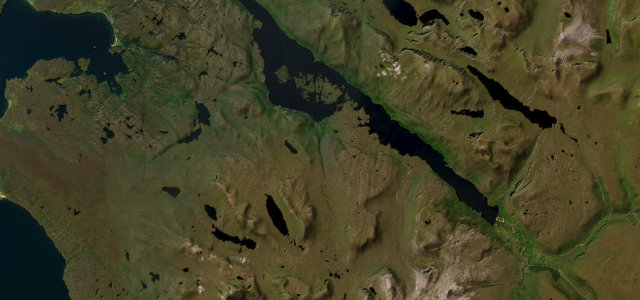
Nineteen miles from Kinlochewe along the shore of Loch Maree beneath Slioch, out to the sea at Gairloch, with single-track stretches to keep you honest.
The A832 runs from Kinlochewe along the shore of Loch Maree beneath Slioch to the coast at Gairloch, one of the great Highland drives. It is narrow and winding with single-track stretches; use the passing places, and stop only where it is safe to take in the view.
Scenery
LakesCoastMountain
Best seasons
SpringSummerAutumn
In these collections
In these Grand Tours
In these guides
Where it runs18.9 mi · point to point
KinlocheweStart · Highland
GairlochEnd · Highland
Navigate to the start: Apple Maps · Google Maps
Character
Corners40bends
Tightness6of 10
Max gradient9%≈ 1-in-11
Climb287 mtotal ascent
Summit139 mhighest point of the line · 456 ft
Corners
busiest around mile 15Elevation
under 4%4–8%over 8%13.5 – 139 mPoints of interest3 stops
- CrasgViewpoint19 mi in
- Creagan Fhamhair, FortLandmark17 mi in
- Victoria FallsLandmark11 mi in
Hazards
- Single-track sections
- Blind bends by the loch
- Deer and sheep
Sources
“Past Kinlochewe the A832 follows the south-west shore of Loch Maree through beautiful mountain scenery.”
Verified route: mapped from real road geometry and fact-checked by a human editor. How roads get checked
Driving the Loch Maree & Wester Ross: quick answers
How long does it take to drive the Loch Maree & Wester Ross?
Loch Maree & Wester Ross runs 18.9 miles (30 km) and takes about 40 min to drive without stops.
How difficult is the Loch Maree & Wester Ross to drive?
We rate it demanding: 40 corners, a maximum gradient of 9%, and a tightness of 6 out of 10.
When is the best time to drive the Loch Maree & Wester Ross?
Spring and Summer and Autumn are best.
Nearby roads
The closest great drives to Loch Maree & Wester Ross.
Loch Maree & Wester Ross
DirectionsGet the app