Highland · United Kingdom
Destitution Road
A832Dundonnell to Braemore Junction
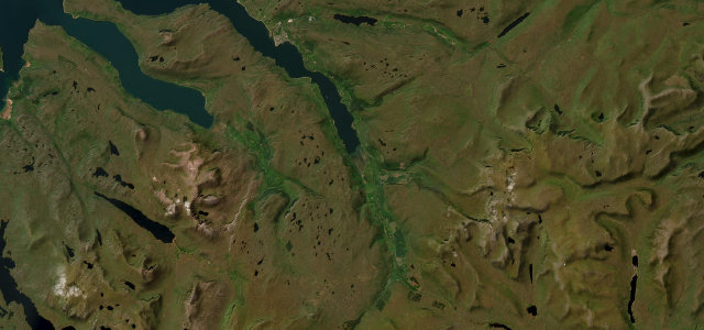
Famine-built A832 over the moors past An Teallach, from Dundonnell to Braemore Junction.
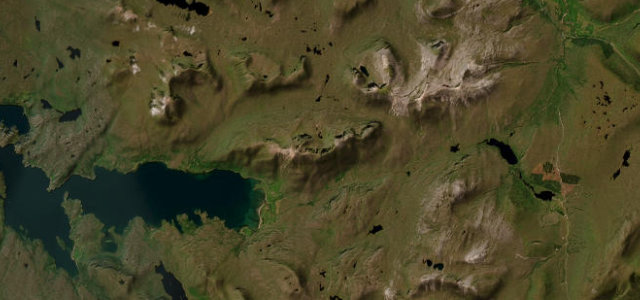
The A832 between Dundonnell and Braemore Junction is one of several Scottish roads nicknamed the Destitution Road, built in the 1846 to 1847 potato famine to give crofters paid work for oatmeal rations. From Dundonnell it climbs through a wooded gorge of waterfalls, then breaks out onto open moorland near 330 m with the An Teallach ridge filling the western sky. It is a wide-ish but exposed single carriageway with long sightlines and a real sense of emptiness. Mind the convoy roadworks reported near Dundonnell, sudden hill fog on the summit moor, and long stretches with no fuel or phone signal.
Scenery
Best seasons
In these collections
In these Grand Tours
Where it runs13.3 mi · point to point
Navigate to the start: Apple Maps · Google Maps
Character
Corners
busiest around mile 5Elevation
under 4%4–8%over 8%16.8 – 339.3 mPoints of interest2 stops
- Loch Broom ViewViewpoint12 mi in
- Corrieshalloch Gorge ViewpointViewpoint13 mi in
Hazards
- Exposed summit fog and snow
- No fuel or phone signal
- Convoy roadworks near Dundonnell
Sources
“takes in stunning coastal scenery with views of Gruinard Bay and its white beaches”
Verified route: mapped from real road geometry and fact-checked by a human editor. How roads get checked
Driving the Destitution Road: quick answers
How long does it take to drive the Destitution Road?
How difficult is the Destitution Road to drive?
When is the best time to drive the Destitution Road?
Nearby roads
The closest great drives to Destitution Road.