Scotland · United Kingdom
Mam Ratagan to Glenelg
Shiel Bridge to Glenelg
Old military road, remade by Telford, over a wooded pass to Glenelg.
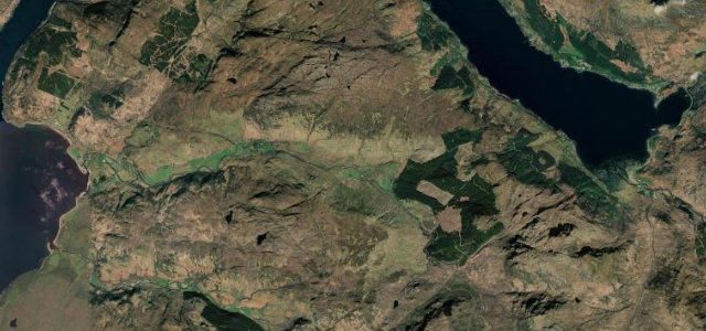
This unclassified single-track road climbs the Mam Ratagan pass from Shiel Bridge to Glenelg, rebuilt by Thomas Telford on an earlier military line, reaching about 348 metres. The wooded ascent offers views back over the Five Sisters of Kintail. Mind the steep gradients to fifteen percent, hairpin bends and single-track passing places.
Where it runs8.9 mi · point to point
Shiel BridgeStart · Scotland
GlenelgEnd · Scotland
Navigate to the start: Apple Maps · Google Maps
Character
Corners30bends
Tightness8of 10
Max gradient15%≈ 1-in-7
Climb367 mtotal ascent
Summit347.7 mhighest point of the line · 1,141 ft
Corners
busiest around mile 3Elevation
under 4%4–8%over 8%5.3 – 347.7 mPoints of interest3 stops
- Mam RataganViewpoint2.4 mi in
- Glenelg War MemorialLandmark8.9 mi in
- Caisteal Mhicleod, dun siteLandmark8.3 mi in
Hazards
- Steep gradients
- Hairpin bends
- Single-track passing places
Sources
“a great drive with hairpin bends rising to 1116 feet, and offering some of the best views in Scotland”
Verified route: mapped from real road geometry and fact-checked by a human editor. How roads get checked
Driving the Mam Ratagan to Glenelg: quick answers
How long does it take to drive the Mam Ratagan to Glenelg?
Mam Ratagan to Glenelg runs 8.9 miles (14.3 km) and takes about 21 min to drive without stops.
How difficult is the Mam Ratagan to Glenelg to drive?
We rate it demanding: 30 corners, a maximum gradient of 15%, and a tightness of 8 out of 10.
When is the best time to drive the Mam Ratagan to Glenelg?
Spring and Summer and Autumn are best.
Nearby roads
The closest great drives to Mam Ratagan to Glenelg.
Mam Ratagan to Glenelg
DirectionsGet the app