Highland · United Kingdom
Road to the Isles
A830Fort William to Mallaig
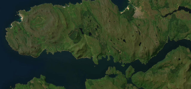
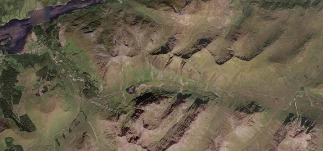
Fort William to Mallaig past Glenfinnan viaduct and the silver sands of Morar.
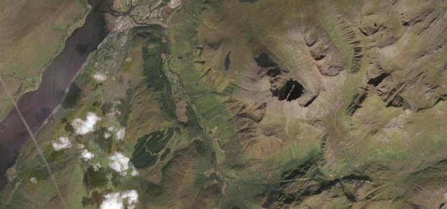
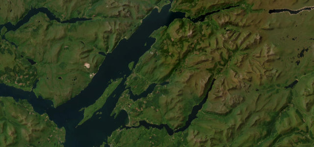
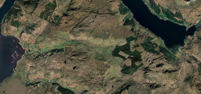
The A830 Road to the Isles runs roughly 46 miles from Fort William to the fishing port of Mallaig, shadowing the West Highland Line much of the way. It passes the Glenfinnan viaduct made famous by the Harry Potter films, the lochs of Loch Eil and Loch nan Uamh, and the white silver sands of Morar before reaching the Mallaig ferry pier for Skye and the Small Isles. The whole main route has now been rebuilt to a good two-lane standard with flowing curves, the last single-track trunk-road section near Arisaig having been bypassed in 2009. Mind summer tourist and railway-chasing traffic around Glenfinnan, blind crests on the rebuilt sections, and the narrower, twistier stretches approaching Mallaig.
Where it runs40.6 mi · point to point
Navigate to the start: Apple Maps · Google Maps
Character
Corners
busiest around mile 23Elevation
under 4%4–8%over 8%2.6 – 130.4 mPoints of interest3 stops
- McCallum MemorialLandmark24 mi in
- Duncan Cameron of Inverailort tabletLandmark22 mi in
- Glenfinnan War MemorialLandmark15 mi in
Hazards
- Heavy summer tourist traffic
- Blind crests on rebuilt sections
- Pinch points on old single-track
Sources
“one of the best drives in the country, with plenty to see along the way and some of the most spectacular scenery in the world”
Verified route: mapped from real road geometry and fact-checked by a human editor. How roads get checked
Driving the Road to the Isles: quick answers
How long does it take to drive the Road to the Isles?
How difficult is the Road to the Isles to drive?
When is the best time to drive the Road to the Isles?
Nearby roads
The closest great drives to Road to the Isles.