Highland · United Kingdom
Glen Nevis Road
Fort William to Glen Nevis road head
Single-track dead-end into the Nevis gorge under Ben Nevis, a Braveheart filming location.
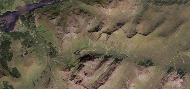
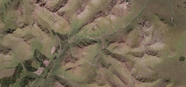
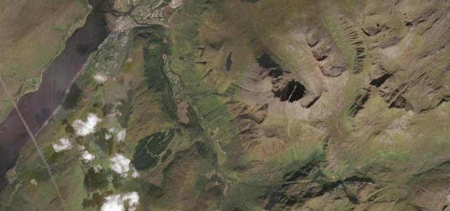
Glen Nevis Road runs from the edge of Fort William up the glen beneath the slopes of Ben Nevis to the car park at the head of the public road, where the Nevis Gorge trail to Steall waterfall begins. The lower glen widens into the meadows used in Braveheart before the road narrows to single-track and climbs into a steep, wooded gorge. It is a short there-and-back rather than a through route, prized for the scenery rather than pace. Mind the busy tourist parking and walkers, narrow single-track with limited passing places near the top, and the dead-end turnaround at the road head.
Where it runs6.1 mi · point to point
Navigate to the start: Apple Maps · Google Maps
Character
Corners
busiest around mile 4Elevation
under 4%4–8%over 8%18.6 – 147.2 mPoints of interest3 stops
- Glen Nevis Lower FallsLandmark4.5 mi in
- Ben Nevis War Memorial PlaqueLandmarkat the start
- Flying Officer J D McDonell Spitfire X4326 Crash MemorialLandmark0.9 mi in
Hazards
- Busy tourist parking and walkers
- Narrow single-track near the head
- Dead-end turnaround
Sources
“Glen Nevis is one of the most beautiful and spectacular glens in Scotland.”
Verified route: mapped from real road geometry and fact-checked by a human editor. How roads get checked
Driving the Glen Nevis Road: quick answers
How long does it take to drive the Glen Nevis Road?
How difficult is the Glen Nevis Road to drive?
When is the best time to drive the Glen Nevis Road?
Nearby roads
The closest great drives to Glen Nevis Road.