Highland · United Kingdom
Rannoch Moor
A82Kings House, Glen Coe to Bridge of Orchy
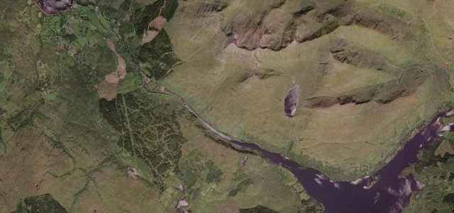
The A82's wild traverse of Rannoch Moor, a treeless expanse of bog, lochans and distant peaks before the road plunges into the jaws of Glen Coe.
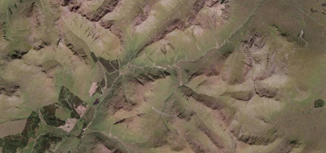
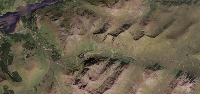
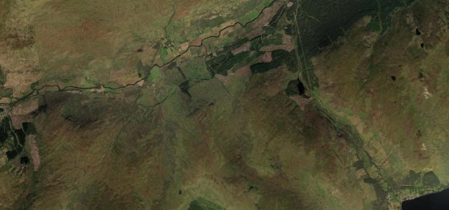
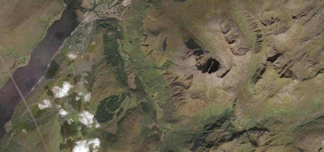
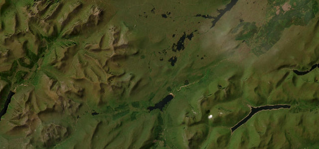
From the Kings House at the eastern end of Glen Coe the A82 strikes south across one of Britain’s last great wildernesses, Rannoch Moor, a vast roof of peat hags, glittering lochans and granite knolls ringed by the Black Mount and the Blackwater hills. The road runs largely arrow-straight on long causeways, lifting to around 1,140 ft as it threads between Lochan na h-Achlaise and Loch Ba before a sweeping descent past the Bridge of Orchy. There are few corners but the openness is the point: the scale is colossal and the weather theatre relentless. This is a fast, exposed two-lane trunk road rather than a technical pass, and it carries heavy tourist and HGV traffic in season. Mind sudden whiteouts and ice in winter, deer and stray sheep on unfenced sections, and fast-moving lorries on the long straights.
Where it runs11.3 mi · point to point
Navigate to the start: Apple Maps · Google Maps
Character
Corners
busiest around mile 7Elevation
under 4%4–8%over 8%158.9 – 348.6 mPoints of interest3 stops
- Kingshouse HotelReputedly Scotland's oldest inn, standing in near isolation below Buachaille Etive Mor at the Glen Coe endat the start
- Loch Tulla ViewpointClassic A82 layby looking over Loch Tulla to the peaks of the Black Mount6.8 mi in
- Glencoe Mountain ResortSki centre with the Boardwalk cafe, a popular stop just off the A82 near the Kings House0.4 mi in
Hazards
- Sudden whiteouts and black ice in winter
- Deer and sheep on unfenced moor
- Fast HGVs and tourist coaches on long straights
Sources
“The 30-mile stretch through Glencoe offers some of the most striking scenery in the British Isles.”
Verified route: mapped from real road geometry and fact-checked by a human editor. How roads get checked
Driving the Rannoch Moor: quick answers
How long does it take to drive the Rannoch Moor?
How difficult is the Rannoch Moor to drive?
When is the best time to drive the Rannoch Moor?
Nearby roads
The closest great drives to Rannoch Moor.