Scotland · United Kingdom
Loch Lomond
A82Tarbet to Crianlarich
The famous bonnie banks road along the west shore of Loch Lomond.
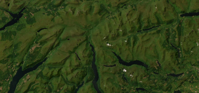
The A82 hugs the west shore of Loch Lomond from Tarbet to Ardlui, then follows Glen Falloch north to Crianlarich, narrow and twisting beneath the trees with the loch glinting alongside. It is busy and tight with oncoming coaches and cyclists; patience is essential.
Scenery
LakesForest
Best seasons
SpringSummerAutumn
In these collections
Where it runs16.8 mi · point to point
TarbetStart · Scotland
CrianlarichEnd · Scotland
Navigate to the start: Apple Maps · Google Maps
Character
Corners30bends
Tightness6of 10
Max gradient7%≈ 1-in-14
Climb277 mtotal ascent
Summit193.5 mhighest point of the line · 635 ft
Corners
busiest around mile 17Elevation
under 4%4–8%over 8%8.3 – 193.5 mPoints of interest2 stops
- Falls of FallochLandmark12 mi in
- Iain Macghilleanthain Memorial CairnLandmark8.6 mi in
Hazards
- Narrow and twisting
- Coaches and cyclists
- Lochside drops
Sources
“It is definitely one of the best drives in the country.”
Verified route: mapped from real road geometry and fact-checked by a human editor. How roads get checked
Driving the Loch Lomond: quick answers
How long does it take to drive the Loch Lomond?
Loch Lomond runs 16.8 miles (27 km) and takes about 35 min to drive without stops.
How difficult is the Loch Lomond to drive?
We rate it moderate: 30 corners, a maximum gradient of 7%, and a tightness of 6 out of 10.
When is the best time to drive the Loch Lomond?
Spring and Summer and Autumn are best.
Nearby roads
The closest great drives to Loch Lomond.
Loch Lomond
DirectionsGet the app