Scotland · United Kingdom
The Duke's Pass
A821Aberfoyle to Callander
A twisting climb through the Trossachs between Aberfoyle and Callander.
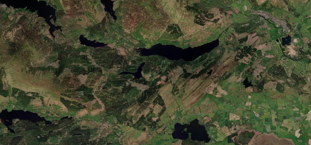
The A821 Duke’s Pass winds up through forest and rock in the heart of the Trossachs, with lochs glinting below. It is narrow and busy with visitors in summer, so take it gently and use the forest car parks to stop.
If we could bottle one Scottish drive for someone short on time, it would be this. It feels like the Highlands folded down to fit inside an afternoon.
Why we picked it
Scenery
ForestLakes
Best seasons
SpringSummerAutumn
In these collections
In these guides
Where it runs13.0 mi · point to point
AberfoyleStart · Scotland
CallanderEnd · Scotland
Navigate to the start: Apple Maps · Google Maps
Character
Corners20bends
Tightness6of 10
Max gradient10%≈ 1-in-10
Hairpins2tight bends
Climb364 mtotal ascent
Summit257.6 mhighest point of the line · 845 ft
Corners
busiest around mile 1Elevation
under 4%4–8%over 8%24.6 – 257.6 mPoints of interest2 stops
- Womens Timber Corps MemorialLandmark0.9 mi in
- Bicycle TreeLandmark8.1 mi in
Hazards
- Narrow with tight bends
- Heavy visitor traffic
- Forestry vehicles
Sources
“The Dukes Pass may be brief, however it offers a density of turns that shames much longer roads, with no two corners alike, all set in a landscape that has inspired novelists and poets for generations.”
Verified route: mapped from real road geometry and fact-checked by a human editor. How roads get checked
Driving the Duke's Pass: quick answers
How long does it take to drive the Duke's Pass?
The Duke’s Pass runs 13.0 miles (21 km) and takes about 27 min to drive without stops.
How difficult is the Duke's Pass to drive?
We rate it moderate: 20 corners including 2 hairpins, a maximum gradient of 10%, and a tightness of 6 out of 10.
When is the best time to drive the Duke's Pass?
Spring and Summer and Autumn are best.
Nearby roads
The closest great drives to The Duke's Pass.
The Duke's Pass
DirectionsGet the app