Scotland · United Kingdom
Glen Aray
A819Inveraray to Lochawe
A quiet Highland glen road from Inveraray to Loch Awe.
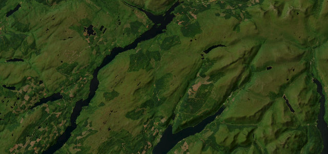
The A819 runs north from Inveraray through Glen Aray to Loch Awe, a flowing, lightly-travelled Highland road between wooded hills and open moor. Watch for deer, single-track-feeling narrows, and logging traffic.
Where it runs12.0 mi · point to point
InverarayStart · Scotland
LochaweEnd · Scotland
Navigate to the start: Apple Maps · Google Maps
Character
Corners26bends
Tightness5of 10
Max gradient8%≈ 1-in-13
Climb278 mtotal ascent
Summit214.6 mhighest point of the line · 704 ft
Corners
busiest around mile 9Elevation
under 4%4–8%over 8%6.3 – 214.6 mPoints of interest2 stops
- Creag DhubhViewpoint7.2 mi in
- Inveraray War MemorialLandmarkat the start
Hazards
- Deer on the road
- Logging traffic
- Narrow wooded sections
Sources
“A short but fun blast down a quiet well surfaced road, with some good corners.”
Verified route: mapped from real road geometry and fact-checked by a human editor. How roads get checked
Driving the Glen Aray: quick answers
How long does it take to drive the Glen Aray?
Glen Aray runs 12.0 miles (19 km) and takes about 24 min to drive without stops.
How difficult is the Glen Aray to drive?
We rate it moderate: 26 corners, a maximum gradient of 8%, and a tightness of 5 out of 10.
When is the best time to drive the Glen Aray?
Spring and Summer and Autumn are best.
Nearby roads
The closest great drives to Glen Aray.
Glen Aray
DirectionsGet the app