Scotland · United Kingdom
Oban to Lochgilphead
A816Oban to Lochgilphead
A quiet, twisting Argyll coast road past sea lochs and standing stones.
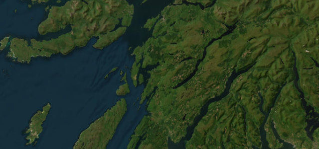
The A816 winds south from Oban through Kilmartin Glen to Lochgilphead, threading sea lochs, ancient cairns and forest. It is narrow and undulating with blind summits; take it gently and use the passing places with good grace.
Scenery
CoastForest
Best seasons
SpringSummerAutumn
In these collections
In these guides
Where it runs36.1 mi · point to point
ObanStart · Scotland
LochgilpheadEnd · Scotland
Navigate to the start: Apple Maps · Google Maps
Character
Corners40bends
Tightness5of 10
Max gradient8%≈ 1-in-13
Climb673 mtotal ascent
Summit180.5 mhighest point of the line · 592 ft
Corners
busiest around mile 23Elevation
under 4%4–8%over 8%1.1 – 180.5 mPoints of interest1 stop
- Kilmelford War MemorialLandmark15 mi in
Hazards
- Blind summits
- Single-track sections
- Logging traffic
Sources
“A road of many characters. Lose yourself in the twisty valley ride between Kilninver and Kilmelford. Enjoy the rich coastal views around the famous Arduaine Garden.”
Verified route: mapped from real road geometry and fact-checked by a human editor. How roads get checked
Driving the Oban to Lochgilphead: quick answers
How long does it take to drive the Oban to Lochgilphead?
Oban to Lochgilphead runs 36.1 miles (58 km) and takes about 1 h 12 min to drive without stops.
How difficult is the Oban to Lochgilphead to drive?
We rate it moderate: 40 corners, a maximum gradient of 8%, and a tightness of 5 out of 10.
When is the best time to drive the Oban to Lochgilphead?
Spring and Summer and Autumn are best.
Nearby roads
The closest great drives to Oban to Lochgilphead.
Oban to Lochgilphead
DirectionsGet the app