Scotland · United Kingdom
Loch Eck
A815Strachur to Sandbank
A lochside road through the heart of Cowal.
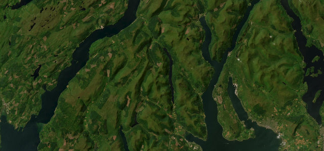
The A815 runs the length of Loch Eck through the Argyll Forest in Cowal, a quiet, wooded lochside road between steep hills. Flowing and scenic; watch for the narrow shoreline stretches, deer and forestry traffic, and oncoming cars on the bends.
Scenery
LakesForest
Best seasons
SpringSummerAutumn
In these collections
Where it runs13.9 mi · point to point
StrachurStart · Scotland
SandbankEnd · Scotland
Navigate to the start: Apple Maps · Google Maps
Character
Corners28bends
Tightness5of 10
Max gradient6%≈ 1-in-17
Climb118 mtotal ascent
Summit53.3 mhighest point of the line · 175 ft
Corners
busiest around mile 13Elevation
under 4%4–8%over 8%4.8 – 53.3 mPoints of interest3 stops
- InverchapelViewpoint11 mi in
- Benmore Botanics Gardens EntranceLandmark11 mi in
- An Cormer, MotteLandmark1.1 mi in
Hazards
- Narrow shoreline sections
- Deer and forestry traffic
- Blind bends
Sources
“The roads are quieter and even more beautiful than those upto there. Take the A815, which runs along the banks of Loch Eck to a T junction on the banks of Loch Fyne.”
Verified route: mapped from real road geometry and fact-checked by a human editor. How roads get checked
Driving the Loch Eck: quick answers
How long does it take to drive the Loch Eck?
Loch Eck runs 13.9 miles (22 km) and takes about 28 min to drive without stops.
How difficult is the Loch Eck to drive?
We rate it moderate: 28 corners, a maximum gradient of 6%, and a tightness of 5 out of 10.
When is the best time to drive the Loch Eck?
Spring and Summer and Autumn are best.
Nearby roads
The closest great drives to Loch Eck.
Loch Eck
DirectionsGet the app