Scotland · United Kingdom
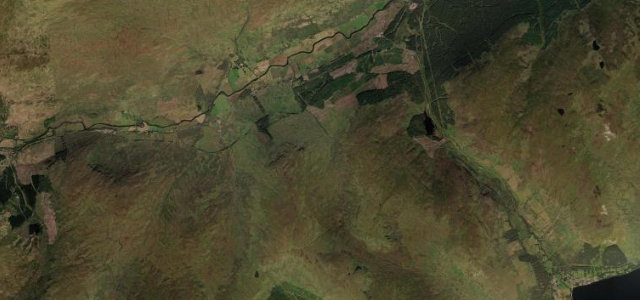
Glen Ogle
A85Lochearnhead to Lix Toll
A scenic climb out of Lochearnhead that Queen Victoria likened to the Khyber Pass.
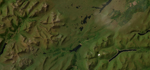
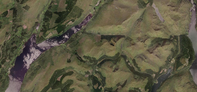
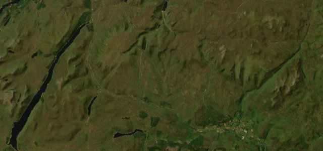
The A85 climbs through Glen Ogle above Lochearnhead, curving past the old railway viaduct with long views down the glen. It is a flowing main road; mind the gradients, the laybys full of admirers, and the weather coming over the pass.
Most people meet it by accident, halfway to somewhere else, and remember it longer than wherever they were going. We love a road that steals the show uninvited.
Why we picked it
Where it runs9.5 mi · point to point
LochearnheadStart · Scotland
Lix TollEnd · Scotland
Navigate to the start: Apple Maps · Google Maps
Character
Corners14bends
Tightness5of 10
Max gradient9%≈ 1-in-11
Climb175 mtotal ascent
Summit294.7 mhighest point of the line · 967 ft
Corners
busiest around mile 3Elevation
under 4%4–8%over 8%128.5 – 294.7 mPoints of interest3 stops
- RAF Tornado MemorialLandmark3.3 mi in
- Glen Ogle ViaductLandmark1.8 mi in
- Killin JunctionLandmark6.1 mi in
Hazards
- Fast descents
- Busy laybys
- Wind over the pass
Sources
“Queen Victoria is said to have referred to Glen Ogle as 'Scotland's Khyber Pass'.”
Verified route: mapped from real road geometry and fact-checked by a human editor. How roads get checked
Driving the Glen Ogle: quick answers
How long does it take to drive the Glen Ogle?
Glen Ogle runs 9.5 miles (15.3 km) and takes about 19 min to drive without stops.
How difficult is the Glen Ogle to drive?
We rate it moderate: 14 corners, a maximum gradient of 9%, and a tightness of 5 out of 10.
When is the best time to drive the Glen Ogle?
Spring and Summer and Autumn are best.
Nearby roads
The closest great drives to Glen Ogle.
Glen Ogle
DirectionsGet the app