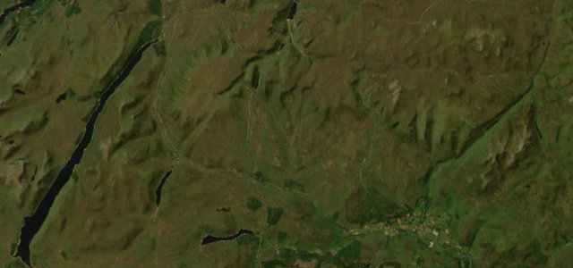
Scotland · United Kingdom
Pass of Drumochter
A9Blair Atholl to Dalwhinnie
The high Highland watershed between the Cairngorms and the Central Highlands.
The A9 crosses the Pass of Drumochter, the highest point on the trunk road network in Scotland, between Blair Atholl and Dalwhinnie. It is a fast dual-and-single road, frequently snow-affected and wind-blown; keep within the limits and watch for sudden conditions.
Where it runs23.2 mi · point to point
Blair AthollStart · Scotland
DalwhinnieEnd · Scotland
Navigate to the start: Apple Maps · Google Maps
Character
Corners10bends
Tightness3of 10
Max gradient7%≈ 1-in-14
Climb393 mtotal ascent
Summit462.1 mhighest point of the line · 1,516 ft
Corners
mostly openElevation
under 4%4–8%over 8%136.1 – 462.1 mPoints of interest3 stops
- Drumochter SummitViewpoint17 mi in
- The Wade StoneLandmark12 mi in
- 51st Highland Division War MemorialLandmark3.2 mi in
Hazards
- High watershed, snow and ice
- Strong crosswinds
- Fast traffic
Sources
“The Pass of Drumochter is an iconic road in the Scottish Highlands”
Verified route: mapped from real road geometry and fact-checked by a human editor. How roads get checked
Driving the Pass of Drumochter: quick answers
How long does it take to drive the Pass of Drumochter?
Pass of Drumochter runs 23.2 miles (37 km) and takes about 42 min to drive without stops.
How difficult is the Pass of Drumochter to drive?
We rate it moderate: 10 corners, a maximum gradient of 7%, and a tightness of 3 out of 10.
When is the best time to drive the Pass of Drumochter?
Spring and Summer and Autumn are best.
Nearby roads
The closest great drives to Pass of Drumochter.
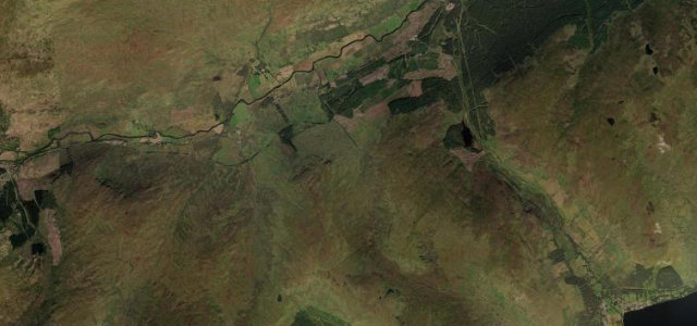
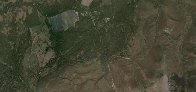
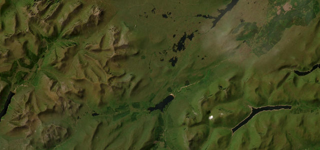
Pass of Drumochter
DirectionsGet the app