Scotland · United Kingdom
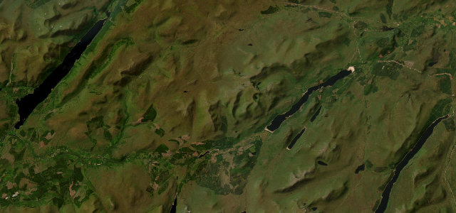
Loch Laggan
A86Spean Bridge to Kinloch Laggan
A long, fast Highland glen between Spean Bridge and the Cairngorms.
The A86 runs east from Spean Bridge past Loch Laggan and the Ardverikie estate towards Newtonmore, a fast, sweeping Highland road through forest and glen. It is open and flowing with long sightlines; watch for deer at dawn and dusk and logging traffic on the western stretch.
Where it runs25.4 mi · point to point
Spean BridgeStart · Scotland
Kinloch LagganEnd · Scotland
Navigate to the start: Apple Maps · Google Maps
Character
Corners30bends
Tightness4of 10
Max gradient7%≈ 1-in-14
Climb370 mtotal ascent
Summit294.5 mhighest point of the line · 966 ft
Corners
busiest around mile 21Elevation
under 4%4–8%over 8%67.5 – 294.5 mPoints of interest2 stops
- Pattack FallsViewpoint24 mi in
- James Hendry MemorialLandmark21 mi in
Hazards
- Deer at dawn and dusk
- Logging traffic
- Fast sweeping bends
Sources
“Laggan to Spean Bridge - lovely scenery, lots of fast corners and straight section.”
Verified route: mapped from real road geometry and fact-checked by a human editor. How roads get checked
Driving the Loch Laggan: quick answers
How long does it take to drive the Loch Laggan?
Loch Laggan runs 25.4 miles (41 km) and takes about 49 min to drive without stops.
How difficult is the Loch Laggan to drive?
We rate it moderate: 30 corners, a maximum gradient of 7%, and a tightness of 4 out of 10.
When is the best time to drive the Loch Laggan?
Spring and Summer and Autumn are best.
Nearby roads
The closest great drives to Loch Laggan.
Loch Laggan
DirectionsGet the app