Scotland · United Kingdom
Loch Ness South Military Road
B862B852Fort Augustus to Inverness
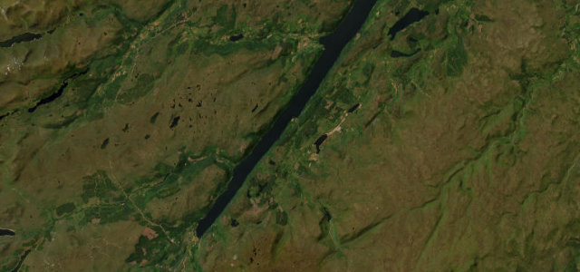
General Wade’s military road along Loch Ness’s quiet shore.
The B862 and B852 follow General Wade’s 1720s military road along the southern side of Loch Ness between Fort Augustus and Inverness, the B862 climbing for high views and the B852 hugging the loch past the Falls of Foyers. Much of it is single-track with passing places. Mind the narrow sections, deer on the road and tight blind bends.
Scenery
LakesMoorlandForest
Best seasons
SpringSummerAutumn
In these collections
In these Grand Tours
Where it runs22.1 mi · point to point
Fort AugustusStart · Scotland
InvernessEnd · Scotland
Navigate to the start: Apple Maps · Google Maps
Character
Corners60bends
Tightness6of 10
Max gradient10%≈ 1-in-10
Climb584 mtotal ascent
Summit390.7 mhighest point of the line · 1,282 ft
Corners
busiest around mile 1Elevation
under 4%4–8%over 8%24.9 – 390.7 mPoints of interest2 stops
- Suidhe ChuimeinViewpoint5.4 mi in
- Stratherrick War MemorialLandmark15 mi in
Hazards
- Narrow single-track
- Deer on road
- Blind bends
Sources
“This nice and twisty road with superb views can pose a challenge to even the most experienced drivers”
Verified route: mapped from real road geometry and fact-checked by a human editor. How roads get checked
Driving the Loch Ness South Military Road: quick answers
How long does it take to drive the Loch Ness South Military Road?
Loch Ness South Military Road runs 22.1 miles (36 km) and takes about 46 min to drive without stops.
How difficult is the Loch Ness South Military Road to drive?
We rate it moderate: 60 corners, a maximum gradient of 10%, and a tightness of 6 out of 10.
When is the best time to drive the Loch Ness South Military Road?
Spring and Summer and Autumn are best.
Nearby roads
The closest great drives to Loch Ness South Military Road.
Loch Ness South Military Road
DirectionsGet the app