Highland · United Kingdom
Cairngorm Mountain Road
C1126Glenmore to Cairngorm ski centre
Steep ski-centre climb from Glenmore up the flank of Cairn Gorm above Loch Morlich.
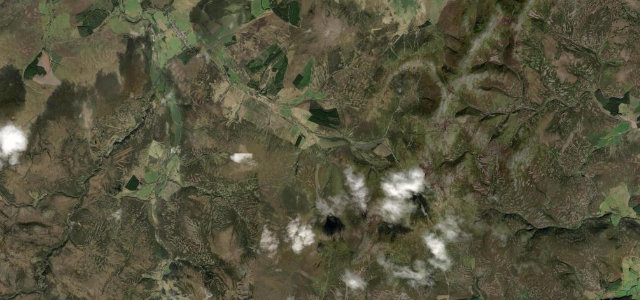
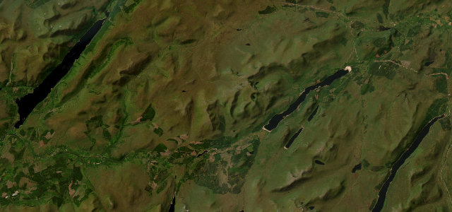
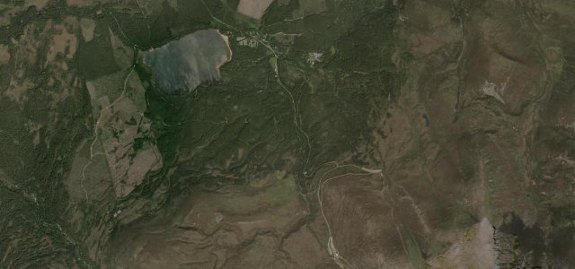
The Cairngorm Mountain Road climbs from Glenmore, by Loch Morlich, up onto the north shoulder of Cairn Gorm to the ski-centre car park at around 640 m. It is a fully paved public road that gains roughly 300 m in about five kilometres, with an average around five percent and short ramps cited at seventeen percent, set among the Caledonian pines and open mountain of the Cairngorms National Park. The views back over Strathspey and Loch Morlich are the draw rather than technical corners. Mind the steep gradient on the descent, frequent low cloud and verglas near the top, and that the upper section can close in winter snow.
Where it runs3.2 mi · point to point
Navigate to the start: Apple Maps · Google Maps
Character
Corners
busiest around mile 2Elevation
under 4%4–8%over 8%325.1 – 613.8 mPoints of interest1 stop
- Norwegian Patriots 1941-1945 (Kompani Linge) MemorialLandmark0.2 mi in
Hazards
- Steep 17% ramps
- Low cloud and verglas near summit
- Winter snow closure
See the typical season and live conditions for the high passes ›
Sources
“The drive offers stunning views overlooking Strathspey and the town of Aviemore.”
Verified route: mapped from real road geometry and fact-checked by a human editor. How roads get checked
Driving the Cairngorm Mountain Road: quick answers
How long does it take to drive the Cairngorm Mountain Road?
How difficult is the Cairngorm Mountain Road to drive?
When is the best time to drive the Cairngorm Mountain Road?
Nearby roads
The closest great drives to Cairngorm Mountain Road.