Eysturoy · Faroe Islands
Gjáarvegur
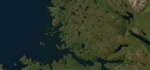
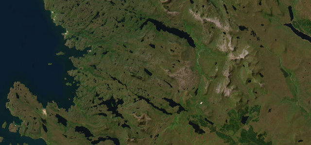
61Eiði to Gjógv
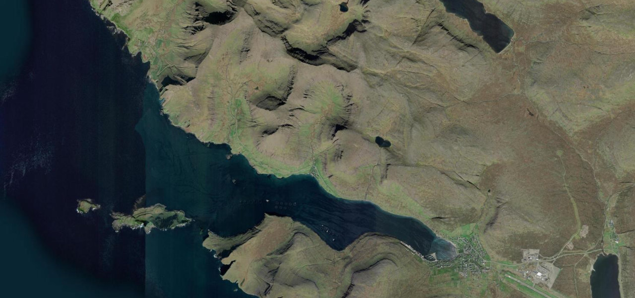
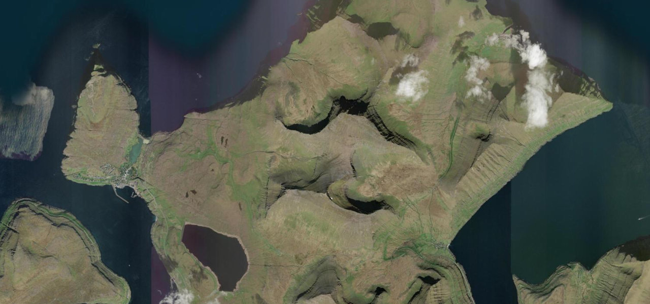
Gjáarvegur climbs from coastal Eiði over the flanks of Slættaratindur, the Faroes' highest peak at 882 m, before a spectacular hairpin descent into Gjógv, grass-roofed houses at the head of a 200 m sea gorge.
Leaving Eiði the road ascends onto open moorland, the fells growing as the tarmac narrows; the Gjáarskarð pass at 404 m is the turning point, ahead only ocean and sky, before switchbacks drop into the gorge village. Gjógv’s natural harbour is a crack in the basalt cliffs; the return via Funningur makes a loop.
Scenery
Where it runs
Navigate to the start: Apple Maps · Google Maps
Character
Elevation
under 4%4–8%over 8%24 – 385 mHazards
- closed or impassable in winter snow
- narrow with roadside ditches on the descent
- unpredictable Atlantic weather
See the typical season and live conditions for the high passes ›
Sources: Road geometry © OpenStreetMap contributors
Nearby roads
The closest great drives to Gjáarvegur.