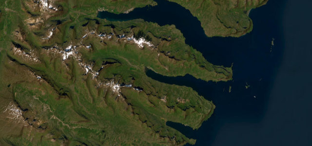
Vágar · Faroe Islands
Route to Gásadalur
45Sørvágur to Gásadalur
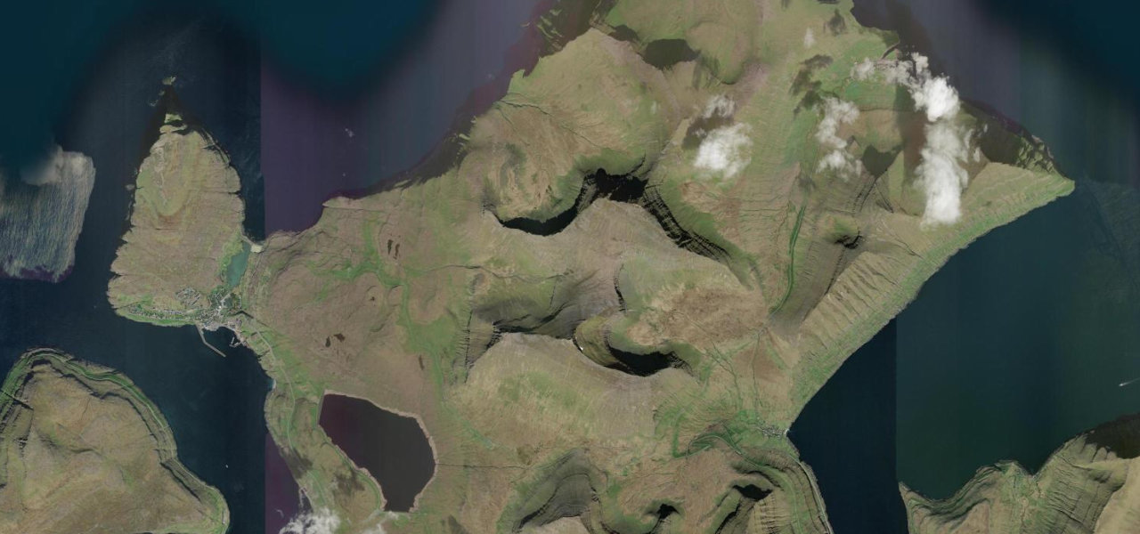
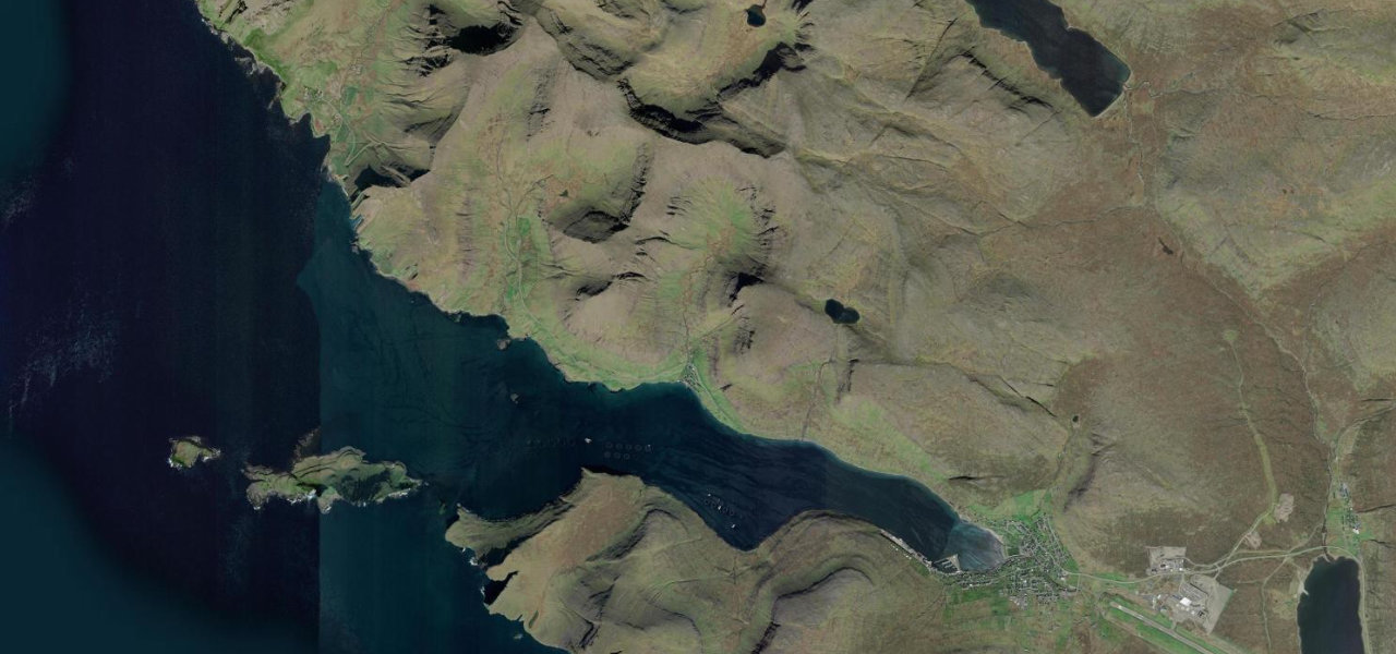
A 10 km road on Vágar that tunnels through a mountain to reach Gásadalur, a village of 18 people inaccessible by road until 2004, ending above the Múlafossur waterfall where a stream drops from the clifftop straight into the Atlantic.
Route 45 leaves the harbour village of Sørvágur and hugs the north shore of Sørvágsfjørður, passing Bøur with a wide view across to the sea stacks of Tindhólmur and the Drangarnir arch. Past Bøur it enters the 1.4 km single-lane Gásadalstunnilin, blasted through the mountain in 2004; before it existed, Gásadalur’s residents crossed a steep pass on foot. The tunnel emerges above the village, a short walk from the clifftop above Múlafossur.
Scenery
Where it runs
Navigate to the start: Apple Maps · Google Maps
Character
Elevation
under 4%4–8%over 8%0 – 172 mHazards
- single-lane unlit 1.4 km tunnel
- Atlantic fog can descend in seconds
- extreme cliff-edge winds at the Múlafossur viewpoint
- narrow single-track coastal section
- nesting Arctic terns in summer
Sources: Road geometry © OpenStreetMap contributors
Nearby roads
The closest great drives to Route to Gásadalur.