County Kerry · Ireland
Ring of Kerry
N70Killorglin to Kenmare
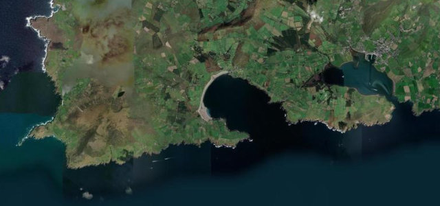
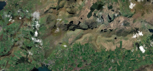
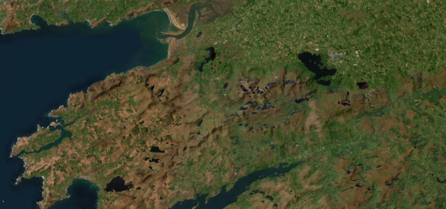
The N70 does the heavy lifting on the Ring of Kerry, threading between mountain and Atlantic around the Iveragh peninsula through Cahersiveen, Waterville and Sneem. The tour coaches all run anticlockwise, so you know exactly what to do.
The N70 forms the bulk of the Ring of Kerry, a long coastal route around the Iveragh peninsula linking Killorglin, Cahersiveen, Waterville and Sneem. The road threads between mountain and Atlantic shore with a mix of open coast and tight village sections. Mind the tour coaches travelling anticlockwise, narrow stretches and frequent stopping traffic.
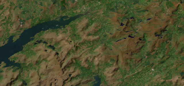
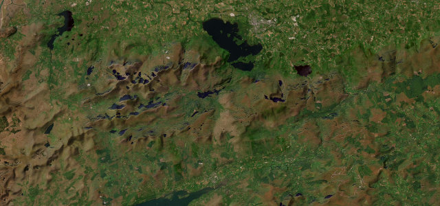
Cliff-edge bends along the Atlantic, then inland past purple mountains and glassy loughs. Pull over and the Skelligs sit out on the horizon.
Why we picked it
Scenery
Best seasons
In these collections
In these Grand Tours
Where it runs72.4 mi · point to point
Navigate to the start: Apple Maps · Google Maps
Character
Corners
busiest around mile 44Elevation
under 4%4–8%over 8%0.9 – 207.6 mFrom the road
Points of interest2 stops
- KnockanamadaneViewpoint59 mi in
- Ring of Kerry KillorglinLandmark0.2 mi in
Hazards
- Tour coaches travelling anticlockwise
- Narrow village sections
- Vehicles stopping for views
Sources
“one of Ireland's most famous scenic drives”
Verified route: mapped from real road geometry and fact-checked by a human editor. How roads get checked
Driving the Ring of Kerry: quick answers
How long does it take to drive the Ring of Kerry?
How difficult is the Ring of Kerry to drive?
When is the best time to drive the Ring of Kerry?
Nearby roads
The closest great drives to Ring of Kerry.