County Kerry · Ireland
Molls Gap
N71Killarney to Kenmare
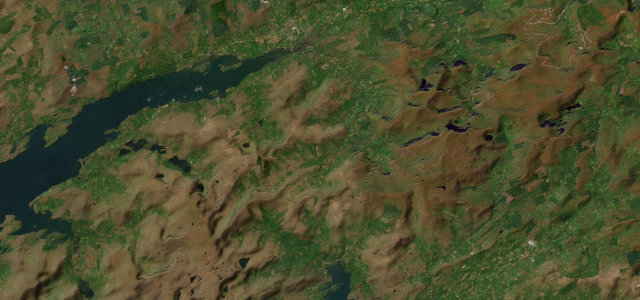
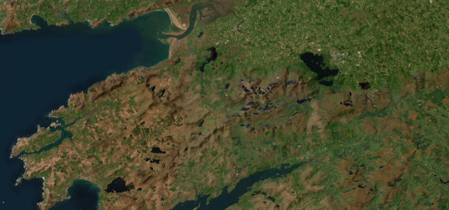
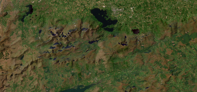
The N71 twists through rock and bog from Killarney’s lakes up over Molls Gap to Kenmare, the Macgillycuddy’s Reeks stacked across the view. The best stretch of the Ring of Kerry, and the tour coaches know it too.
The N71 climbs from Killarney’s lakes over Molls Gap to Kenmare, the most scenic stretch of the Ring of Kerry, twisting through rock and bog with views down to the Lakes of Killarney and across the Macgillycuddy’s Reeks. Beautiful but busy with tour coaches in season; mind the bends and the slow traffic.
Scenery
Best seasons
In these collections
In these Grand Tours
Where it runs19.9 mi · point to point
Navigate to the start: Apple Maps · Google Maps
Character
Corners
busiest around mile 9Elevation
under 4%4–8%over 8%8.4 – 256.8 mFrom the road
Points of interest2 stops
- Ladies ViewViewpoint10 mi in
- Moll’s GapViewpoint14 mi in
Hazards
- Tour coaches in season
- Slow traffic on the bends
- Wandering sheep
Sources
“From Moll's Gap, the views are quite spectacular over Killarney National Park and the McGillycuddy Reeks”
Verified route: mapped from real road geometry and fact-checked by a human editor. How roads get checked
Driving the Molls Gap: quick answers
How long does it take to drive the Molls Gap?
How difficult is the Molls Gap to drive?
When is the best time to drive the Molls Gap?
Nearby roads
The closest great drives to Molls Gap.