Munster · Ireland
Caha Pass
N71Kenmare to Glengarriff
A rock-tunnelled pass between Kerry and Cork.
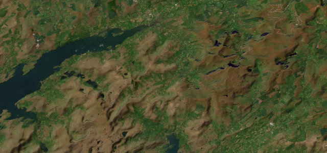
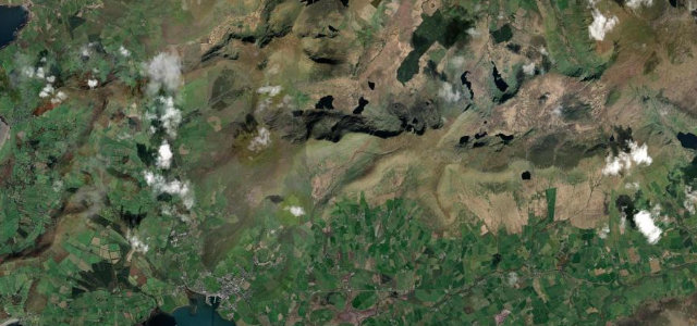
The N71 over the Caha Pass links Kenmare and Glengarriff, the road blasted through the bare rock of the Caha Mountains in a series of short tunnels with views over Bantry Bay. Atmospheric and twisting; mind the narrow tunnels, oncoming traffic, and tour buses in summer.
Scenery
MountainCoast
Best seasons
SpringSummerAutumn
In these collections
In these Grand Tours
Where it runs16.8 mi · point to point
KenmareStart · Munster
GlengarriffEnd · Munster
Navigate to the start: Apple Maps · Google Maps
Character
Corners30bends
Tightness5of 10
Max gradient8%≈ 1-in-13
Climb328 mtotal ascent
Summit328.9 mhighest point of the line · 1,079 ft
Corners
busiest around mile 10Elevation
under 4%4–8%over 8%4.1 – 328.9 mFrom the road
Points of interest2 stops
- Druid’s ViewViewpoint8.8 mi in
- The Three MusiciansLandmark0.7 mi in
Hazards
- Narrow rock tunnels
- Oncoming traffic
- Tour buses in summer
Sources
“This route offers incredible views of the great Irish wilderness.”
Verified route: mapped from real road geometry and fact-checked by a human editor. How roads get checked
Driving the Caha Pass: quick answers
How long does it take to drive the Caha Pass?
Caha Pass runs 16.8 miles (27 km) and takes about 34 min to drive without stops.
How difficult is the Caha Pass to drive?
We rate it moderate: 30 corners, a maximum gradient of 8%, and a tightness of 5 out of 10.
When is the best time to drive the Caha Pass?
Spring and Summer and Autumn are best.
Nearby roads
The closest great drives to Caha Pass.
Caha Pass
DirectionsGet the app