The Municipal District of Cahir — Cashel · Ireland
The Vee Pass
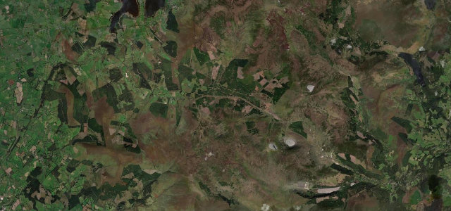
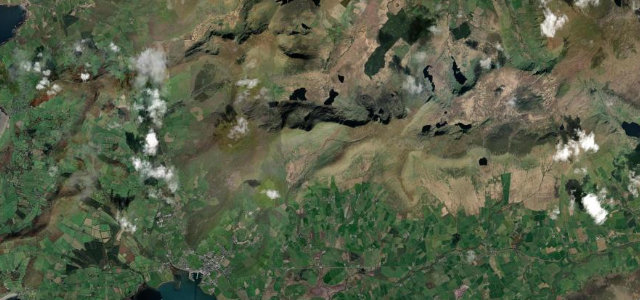
R668Clogheen to Lismore
Hairpin gap road through the Knockmealdown Mountains.
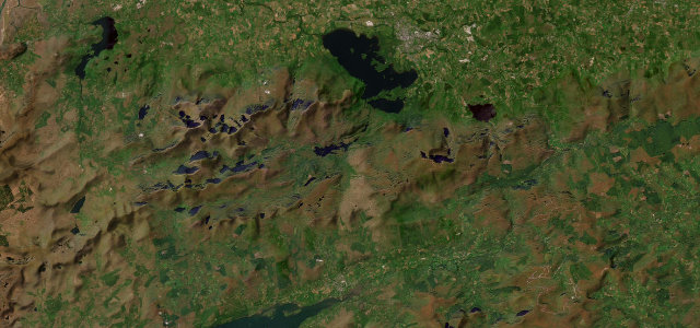
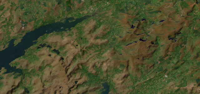
The R668 crosses the Knockmealdown Mountains between Clogheen and Lismore, with a sharp V-shaped hairpin that gives the pass its name. The road climbs past Bay Lough with open views over the Tipperary plain and rhododendron-lined verges. Mind the tight hairpin, exposed mountain weather and grazing sheep.
Where it runs8.3 mi · point to point
ClogheenStart · The Municipal District of Cahir — Cashel
LismoreEnd · The Municipal District of Cahir — Cashel
Navigate to the start: Apple Maps · Google Maps
Character
Corners20bends
Tightness6of 10
Max gradient12%≈ 1-in-8
Descent283 mtotal descent
Summit346.8 mhighest point of the line · 1,138 ft
Corners
busiest around mile 8Elevation
under 4%4–8%over 8%63.7 – 346.8 mFrom the road
Points of interest1 stop
- The VeeViewpoint0.2 mi in
Hazards
- Sharp hairpin at the gap
- Exposed mountain weather
- Sheep grazing on verges
Sources
“Peaking at approximately 2,000 feet above sea level, The Vee offers spectacular, clear views of deep, blue loughs, rich green forest, and vast open skies.”
Verified route: mapped from real road geometry and fact-checked by a human editor. How roads get checked
Driving the Vee Pass: quick answers
How long does it take to drive the Vee Pass?
The Vee Pass runs 8.3 miles (13.4 km) and takes about 17 min to drive without stops.
How difficult is the Vee Pass to drive?
We rate it moderate: 20 corners, a maximum gradient of 12%, and a tightness of 6 out of 10.
When is the best time to drive the Vee Pass?
Spring and Summer and Autumn are best.
Nearby roads
The closest great drives to The Vee Pass.
The Vee Pass
DirectionsGet the app