County Wicklow · Ireland
Wicklow Gap
R756Hollywood to Glendalough
The R756 over one of the two highest road passes in the Wicklow Mountains, into Glendalough.
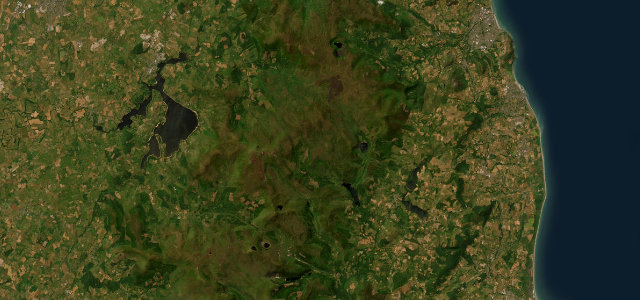
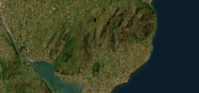
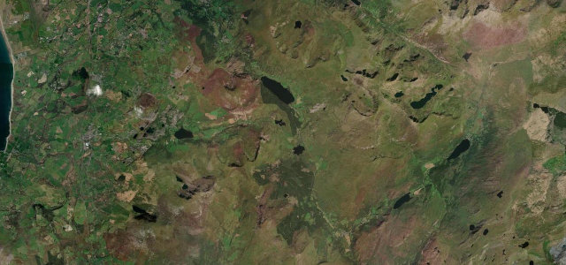
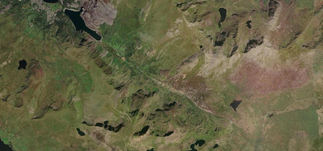
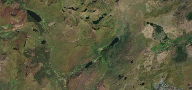
The Wicklow Gap carries the R756 across the Wicklow Mountains at around 475 m, the second-highest road pass in the Wicklow Mountains after nearby Sally Gap, dropping into the monastic valley of Glendalough at its eastern end. It is a flowing open-moorland crossing past old mine workings and hidden lakes rather than a hairpin road, and it makes a fine looser-paced counterpart to Sally Gap. Mind sudden hill fog and crosswinds on the exposed top, sheep wandering onto the carriageway, and tourist congestion near Glendalough.
Scenery
Best seasons
In these collections
Where it runs15.5 mi · point to point
Navigate to the start: Apple Maps · Google Maps
Character
Corners
busiest around mile 1Elevation
under 4%4–8%over 8%141.4 – 476.2 mFrom the road
Points of interest2 stops
- Wicklow GapViewpoint10 mi in
- Saint Saviour’s PrioryLandmark15 mi in
Hazards
- Sudden hill fog
- Sheep on the road
- Glendalough tourist congestion
- Crosswinds on the exposed top
Sources
“fast and smooth with flowing corners which are a delight to drive, each one opening up to a new view across the beautiful landscape”
Verified route: mapped from real road geometry and fact-checked by a human editor. How roads get checked
Driving the Wicklow Gap: quick answers
How long does it take to drive the Wicklow Gap?
How difficult is the Wicklow Gap to drive?
When is the best time to drive the Wicklow Gap?
Nearby roads
The closest great drives to Wicklow Gap.