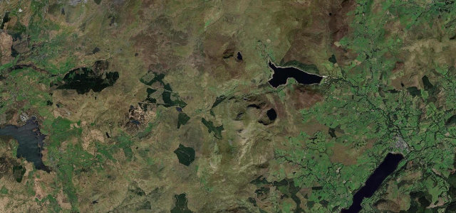
Wales · United Kingdom
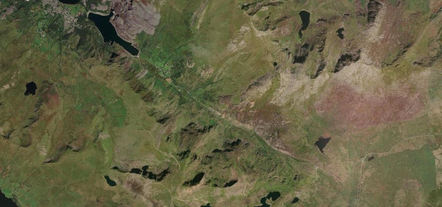
Llanberis Pass
A4086Pen-y-Pass to Llanberis
A rugged cleft beneath Snowdon’s highest crags, strewn with boulders and history.
The A4086 falls from Pen-y-Pass down the Llanberis Pass, hemmed by the dark cliffs of Snowdon and Glyder Fawr and scattered with climbers' boulders. It is short, steep and visually overwhelming, but also one of Eryri’s busiest roads, walkers, parked cars and coaches share every bend. Treat it as a place to look up rather than to hurry, and park only in the proper car parks.
Straight through the heart of Snowdonia beneath Crib Goch. Raw, rocky and brilliant in any weather.
Why we picked it
Scenery
Best seasons
In these collections
In these Grand Tours
In these guides
Where it runs5.6 mi · point to point
Navigate to the start: Apple Maps · Google Maps
Character
Corners
busiest around mile 5Elevation
under 4%4–8%over 8%107.4 – 369.4 mPoints of interest3 stops
- Pen-y-PassTrailhead car park, fills early in the day.at the start
- Moel BerfeddViewpoint0.5 mi in
- Carreg GwalchViewpoint1.1 mi in
Hazards
- Narrow with rock faces
- Heavy walker traffic and parked cars
- Loose stone after rain
Sources
“The road to the summit is very steep, hitting a 10.3% maximum gradient through some of the ramps.”
Verified route: mapped from real road geometry and fact-checked by a human editor. How roads get checked
Driving the Llanberis Pass: quick answers
How long does it take to drive the Llanberis Pass?
How difficult is the Llanberis Pass to drive?
When is the best time to drive the Llanberis Pass?
Nearby roads
The closest great drives to Llanberis Pass.