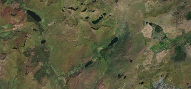
Gwynedd / Eryri (Snowdonia) · United Kingdom
Crimea Pass
A470Blaenau Ffestiniog to Dolwyddelan
Open mountain crossing on the A470 between Blaenau Ffestiniog and Dolwyddelan.
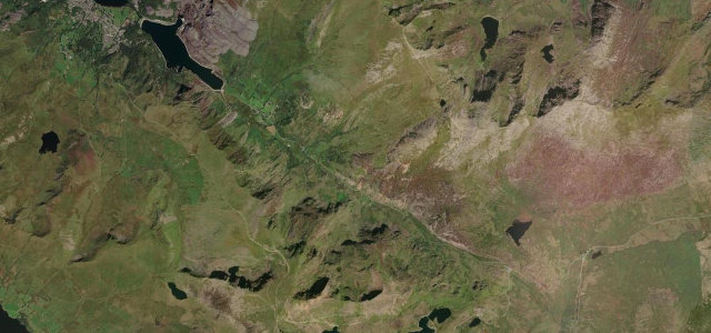
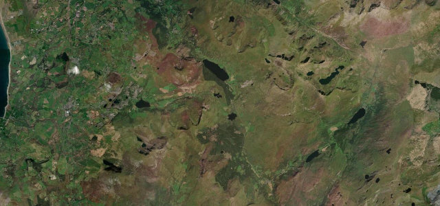
The A470 Crimea Pass, Bwlch y Gorddinan, climbs to about 385 m between the slate town of Blaenau Ffestiniog and the Lledr Valley at Dolwyddelan, named for the Crimean War around the time it opened in 1854. Reconstructed in 2008, it is now a wide, well-graded run of long curves through bleak high country, with slate spoil and a castle below. It is sometimes closed in winter for snow. Mind exposed crosswinds on the summit, fast-changing mountain weather and fog, and surface water on the steep descents.
Scenery
Best seasons
In these collections
In these Grand Tours
Where it runs11.2 mi · point to point
Navigate to the start: Apple Maps · Google Maps
Character
Corners
busiest around mile 1Elevation
under 4%4–8%over 8%45.9 – 389.3 mPoints of interest2 stops
- Garreg DduViewpoint1.3 mi in
- Tomen CastellLandmark6.1 mi in
Hazards
- Summit crosswinds
- Mountain fog
- Winter snow closures
See the typical season and live conditions for the high passes ›
Sources
“The A470 soldiers on up to the Crimea Pass, and out into a whole new world. As you reach the top of the Pass, a new landscape unfurls before you – remote, empty upland country, flickers of light glancing across the ridges.”
Verified route: mapped from real road geometry and fact-checked by a human editor. How roads get checked
Driving the Crimea Pass: quick answers
How long does it take to drive the Crimea Pass?
How difficult is the Crimea Pass to drive?
When is the best time to drive the Crimea Pass?
Nearby roads
The closest great drives to Crimea Pass.