Wales · United Kingdom
Beddgelert to Caernarfon
A4085Beddgelert to Caernarfon
A quiet Eryri valley road between Beddgelert and the sea.
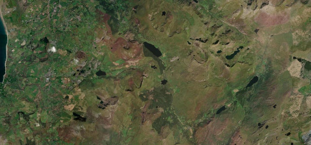
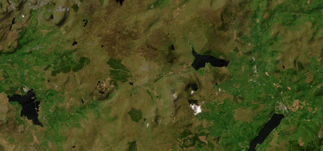
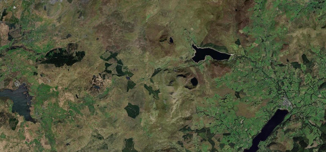
The A4085 runs north from Beddgelert through the Gwyrfai valley past Rhyd Ddu and Llyn Cwellyn towards Caernarfon, skirting the western flanks of the Snowdon massif away from the busier passes. It is a flowing, scenic road; mind the villages, the sheep and the occasional slate lorry.
Where it runs12.3 mi · point to point
BeddgelertStart · Wales
CaernarfonEnd · Wales
Navigate to the start: Apple Maps · Google Maps
Character
Corners24bends
Tightness5of 10
Max gradient8%≈ 1-in-13
Climb230 mtotal ascent
Summit198.1 mhighest point of the line · 650 ft
Corners
busiest around mile 6Elevation
under 4%4–8%over 8%26.4 – 198.1 mPoints of interest3 stops
- Inn of the Sixth HappinessLandmarkat the start
- Castell CidwmLandmark5.8 mi in
- Bryn CwellynViewpoint4.1 mi in
Hazards
- Sheep on the road
- Narrow village streets
- Slate lorries
Sources
“After Llanberis, the A4085 isn't a star turn, but it earns its place letting the day's best view of the mountains slip past the windows at a relaxed pace, with the occasional sequence of corners keeping the drive alive on the run to Beddgelert.”
Verified route: mapped from real road geometry and fact-checked by a human editor. How roads get checked
Driving the Beddgelert to Caernarfon: quick answers
How long does it take to drive the Beddgelert to Caernarfon?
Beddgelert to Caernarfon runs 12.3 miles (20 km) and takes about 25 min to drive without stops.
How difficult is the Beddgelert to Caernarfon to drive?
We rate it moderate: 24 corners, a maximum gradient of 8%, and a tightness of 5 out of 10.
When is the best time to drive the Beddgelert to Caernarfon?
Spring and Summer and Autumn are best.
Nearby roads
The closest great drives to Beddgelert to Caernarfon.
Beddgelert to Caernarfon
DirectionsGet the app