Wales · United Kingdom
The Migneint
B4391A4212Llanycil to Bont Newydd
A wild, empty moorland crossing in the heart of north Wales.
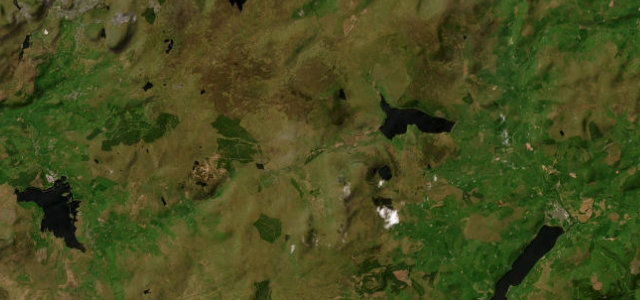
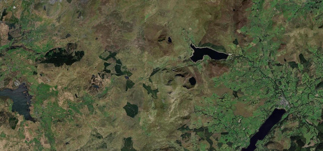
The B4391 crosses the Migneint, one of the largest and emptiest blanket bogs in Wales, between Bala and Ffestiniog. It is open and lonely with long sightlines and sheep on the road; a glorious quiet run, but carry fuel and watch the weather.
Where it runs17.0 mi · point to point
LlanycilStart · Wales
Bont NewyddEnd · Wales
Navigate to the start: Apple Maps · Google Maps
Character
Corners16bends
Tightness4of 10
Max gradient8%≈ 1-in-13
Climb420 mtotal ascent
Summit468 mhighest point of the line · 1,535 ft
Corners
busiest around mile 8Elevation
under 4%4–8%over 8%166.4 – 468 mPoints of interest3 stops
- Tomen Y BalaViewpoint0.3 mi in
- Rhaeadr-y-cwmLandmark14 mi in
- Foel BodrenigViewpoint6.7 mi in
Hazards
- Open moorland with sheep
- Remote, no fuel or signal
- Exposed weather
Sources
“It's a road where you get into a real flow, and it's hugely involving whether you're going flat out or just enjoying the scenery.”
Verified route: mapped from real road geometry and fact-checked by a human editor. How roads get checked
Driving the Migneint: quick answers
How long does it take to drive the Migneint?
The Migneint runs 17.0 miles (27 km) and takes about 32 min to drive without stops.
How difficult is the Migneint to drive?
We rate it moderate: 16 corners, a maximum gradient of 8%, and a tightness of 4 out of 10.
When is the best time to drive the Migneint?
Spring and Summer and Autumn are best.
Nearby roads
The closest great drives to The Migneint.
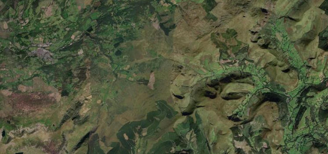
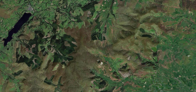
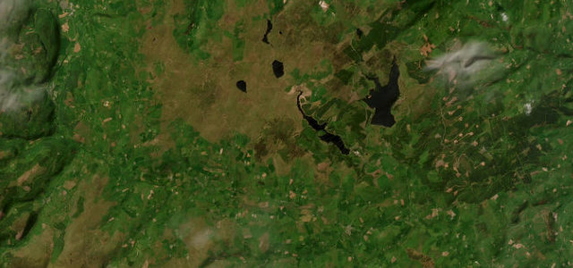
The Migneint
DirectionsGet the app