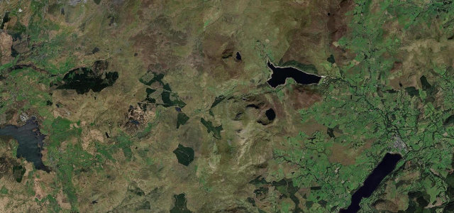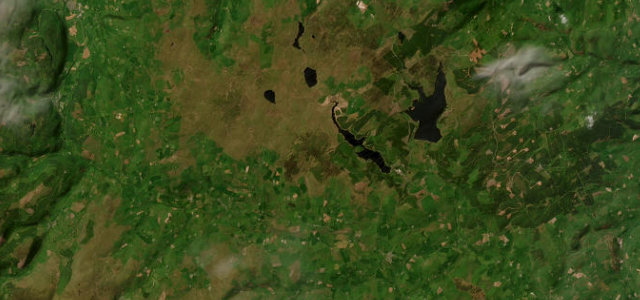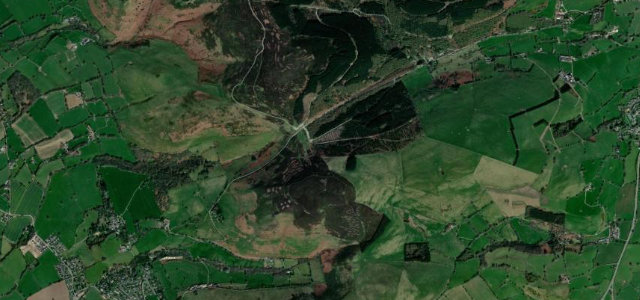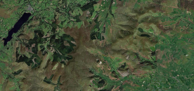
Gwynedd / Powys (Berwyn) · United Kingdom
Milltir Cerrig
B4391Bala to Llangynog
Lonely B-road crossing of the Berwyn range between Bala and Llangynog.
The B4391 crosses Milltir Cerrig over the Berwyn mountains at about 486 m, running between the B4402 junction near Bala and the village of Llangynog at the head of the Tanat Valley. It is a quiet, exhilarating drive: open moorland sweepers on the long northern shoulder, then a steeper, tighter four-mile descent into Llangynog. The road brushes the edge of the Eryri (Snowdonia) National Park. Mind sheep and stock straying onto open moorland sections, the steeper bends and gradient on the Tanat descent, and bleak weather with fog on the summit.
Where it runs8.4 mi · point to point
Navigate to the start: Apple Maps · Google Maps
Character
Corners
busiest around mile 3Elevation
under 4%4–8%over 8%162 – 489.5 mPoints of interest3 stops
- Bryniau GleisionViewpoint2.7 mi in
- Milltir GerrigViewpoint4.7 mi in
- Moel HeulogViewpoint0.7 mi in
Hazards
- Straying sheep
- Steep Tanat descent
- Summit fog
Sources
“it's one of those rare occasions where everything aligns - a gummy surface, a mix of every type of turn, minimal traffic and most importantly, clear sight lines for the majority of the drive”
Verified route: mapped from real road geometry and fact-checked by a human editor. How roads get checked
Driving the Milltir Cerrig: quick answers
How long does it take to drive the Milltir Cerrig?
How difficult is the Milltir Cerrig to drive?
When is the best time to drive the Milltir Cerrig?
Nearby roads
The closest great drives to Milltir Cerrig.