Wales · United Kingdom
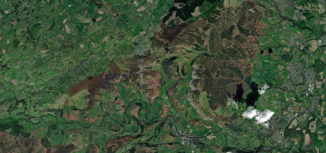
Horseshoe Pass
A542Llangollen to Llandegla
A sweeping moorland horseshoe above Llangollen in north Wales.
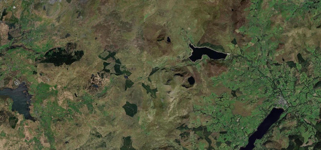
The A542 Horseshoe Pass curves around the head of a valley above Llangollen, a long, open arc of moorland topped by the viewpoint where the Ponderosa café long stood (now closed). It is a popular run with bikers and drivers; the bends are inviting but exposed, so keep within sight lines.
Go late in the day, when the light turns low and golden. It feels like a different pass after six, and we’d argue a better one.
Why we picked it
Scenery
MoorlandMountain
Best seasons
SpringSummerAutumn
In these collections
In these guides
Where it runs6.9 mi · point to point
LlangollenStart · Wales
LlandeglaEnd · Wales
Navigate to the start: Apple Maps · Google Maps
Character
Corners16bends
Tightness6of 10
Max gradient10%≈ 1-in-10
Climb340 mtotal ascent
Summit417.3 mhighest point of the line · 1,369 ft
Corners
busiest around mile 4Elevation
under 4%4–8%over 8%87.9 – 417.3 mPoints of interest2 stops
- Horseshoe PassViewpoint5.0 mi in
- Eliseg’s PillarLandmark1.9 mi in
Hazards
- Exposed open bends
- Popular with motorcyclists
- Weather off the moor
Sources
“a short but cracking way to ease yourself into the drive, with a fast and flowing ascent - save for the signature double hairpin that gives the road its name”
Verified route: mapped from real road geometry and fact-checked by a human editor. How roads get checked
Driving the Horseshoe Pass: quick answers
How long does it take to drive the Horseshoe Pass?
Horseshoe Pass runs 6.9 miles (11.1 km) and takes about 14 min to drive without stops.
How difficult is the Horseshoe Pass to drive?
We rate it demanding: 16 corners, a maximum gradient of 10%, and a tightness of 6 out of 10.
When is the best time to drive the Horseshoe Pass?
Spring and Summer and Autumn are best.
Nearby roads
The closest great drives to Horseshoe Pass.
Horseshoe Pass
DirectionsGet the app