Gwynedd · United Kingdom
Bwlch Oerddrws
A470Dinas Mawddwy to Dolgellau
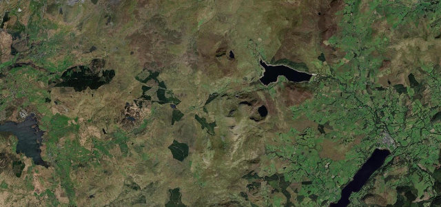
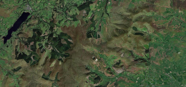
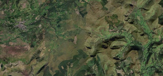
The 'Pass of the Cold Door', a fast A470 mountain pass between Dinas Mawddwy and Dolgellau that opens up the great eastern wall of Cadair Idris.
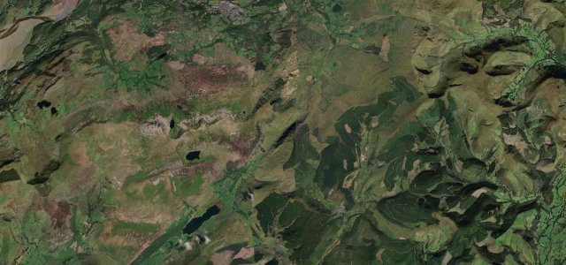
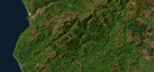
Bwlch yr Oerddrws, the Pass of the Cold Door, carries the A470 over the shoulder between the Dyfi valley at Dinas Mawddwy and the Mawddach country around Dolgellau. From Dinas Mawddwy the road climbs steadily through a tightening glen of rough sheep pasture to a summit car park where the eastern flank of Cadair Idris suddenly fills the windscreen, then sweeps down to the Cross Foxes junction and on toward Dolgellau. It is a well-surfaced two-lane trunk road with flowing bends and long sightlines, more grand touring than technical, and a justly popular bikers' run. Mind sudden hill fog and crosswinds over the exposed summit, fast oncoming traffic on the sweeping descents, and sheep wandering onto the unfenced upper sections.
Scenery
Best seasons
In these collections
In these Grand Tours
Where it runs9.0 mi · point to point
Navigate to the start: Apple Maps · Google Maps
Character
Corners
busiest around mile 1Elevation
under 4%4–8%over 8%12.5 – 371.5 mPoints of interest3 stops
- Dolgellau War MemorialLandmark9.0 mi in
- Bwlch yr OerddrwsViewpoint3.9 mi in
- Bluebell HillViewpoint2.4 mi in
Hazards
- Hill fog and crosswinds over exposed summit
- Fast oncoming traffic on sweeping descents
- Sheep on unfenced upper road
Sources
“You're now approaching possibly the most beautiful stretch of the A470.”
Verified route: mapped from real road geometry and fact-checked by a human editor. How roads get checked
Driving the Bwlch Oerddrws: quick answers
How long does it take to drive the Bwlch Oerddrws?
How difficult is the Bwlch Oerddrws to drive?
When is the best time to drive the Bwlch Oerddrws?
Nearby roads
The closest great drives to Bwlch Oerddrws.